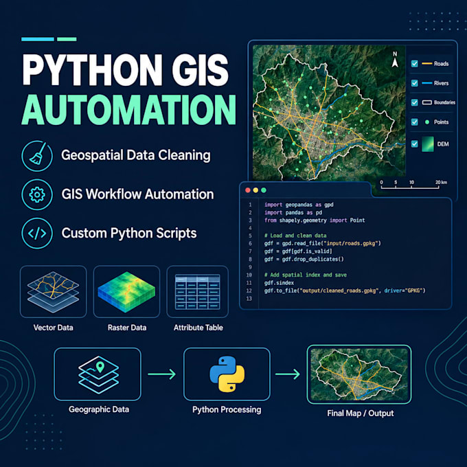
Need help cleaning geospatial data, automating repetitive GIS tasks, or developing custom Python scripts? I can help you process, analyze, and manage spatial data efficiently.
My services include:
- Geospatial data cleaning and preprocessing
- GIS workflow automation and batch processing
- Custom Python scripts for GIS tasks
- Vector and raster data processing
- Data conversion between Shapefile, GeoJSON, GeoPackage, CSV, and other formats
- Spatial joins, buffering, clipping, overlays, and intersection analysis
- Coordinate reference system (CRS) transformation
- OpenStreetMap data extraction and processing
- Raster analysis and satellite data processing
- Attribute table cleaning and validation
- Geospatial data analysis using GeoPandas, Pandas, Shapely, and Rasterio
- Automated map and data output generation
What you'll receive:
- Customized Python scripts
- Clean, organized geospatial datasets
- Efficient and reproducible workflows
- Instructions for running your scripts
Whether you need a small data-cleaning task or a custom GIS automation workflow, I can tailor the solution to your requirements.
Please contact me before ordering to discuss your dataset, expected outputs, and project complexity.