Browse categories
Explore
Fiverr Pro
English
$
USD


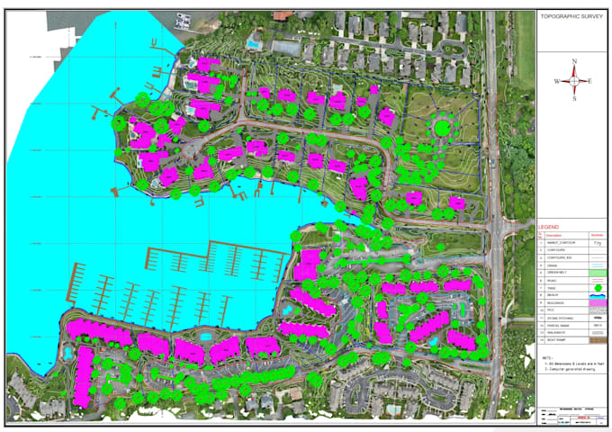
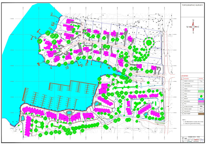
I will convert your drone survey data, orthomosaic, point cloud, DSM/DTM, elevation data, or survey information into a detailed and professional topographic drawing. I can extract and draft site boundaries, lot areas, elevations, contours, spot levels, roads, buildings, visible utilities, drainage features, and other existing site elements.
I will organize the available information into a clean and accurate AutoCAD/Civil 3D topographic plan, suitable for residential, commercial, construction, engineering, and land-development projects. I can also incorporate relevant GIS and satellite information to improve site context and presentation.
My background in topographic surveying, civil engineering, GIS, UAV mapping, AutoCAD, and Civil 3D enables me to convert complex survey data into clear, professional, and practical drawings.
GIS, Drone Mapping, WebGIS, LiDAR and Remote Sensing Specialist
Languages