Browse categories
Explore
Fiverr Pro
English
$
USD
Nigeria
62 orders completed
Geospatial Data Scientist
Level 1
Has met certain performance criteria and shows strong potential in the marketplace.
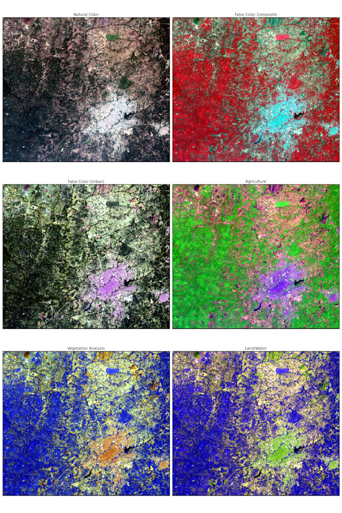
I provide professional satellite imagery and remote sensing analysis to help researchers, NGOs, startups, and businesses extract actionable insights from Earth Observation (EO) data.
Using advanced tools like Python, Google Earth Engine, ArcGIS, QGIS, and ENVI, I process and analyze satellite imagery to deliver high-quality maps, data reports, and spatial insights.
Services I Offer:
Satellite image processing (Landsat, Sentinel, MODIS)
NDVI and vegetation analysis
Land Use / Land Cover (LULC) classification
Change detection and trend analysis
Raster and vector data analysis
Environmental and agricultural monitoring
Flood, deforestation, and urban growth analysis
Data visualization and professional mapping
Why Work With Me:
Accurate, reproducible analysis
Clear maps and reports
Fast communication and support
Python workflows and GIS automation
Contact me before ordering to discuss your project and get the best results.