Browse categories
English
$
USD
Connect to your AI
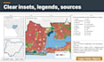
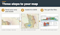
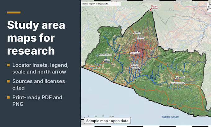
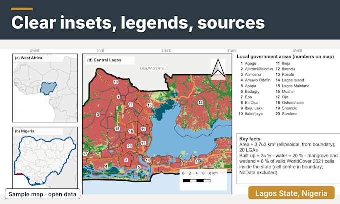
Need a professional study area map or location map for your thesis, research paper, journal article or report? I create publication-ready GIS maps in QGIS, ready for Word, LaTeX or a journal submission.
What you get:
Data: open datasets such as geoBoundaries, OpenStreetMap, SRTM and ESA WorldCover, or your own shapefile, KML or GeoPackage.
Suitable for geology, hydrology, environmental science, agriculture, ecology, urban planning and social science.
Please send: study area name or boundary file, point coordinates, page size and an example map you like.
Not included: field survey or legally verified boundaries. Open data has limits, and I state them on the map.
Large area or special data? Message me first and I will confirm what is possible.
Geologist making QGIS maps, georeferencing and survey data to GIS
Languages
Which data do you use?
Open data such as geoBoundaries, OpenStreetMap, SRTM elevation and ESA WorldCover, or your own files. Every source is cited on the map.
Can you match my journal’s figure style?
Yes. Send the figure width, font or an example figure and I will size the map to it.
Can I use the map in my thesis or paper?
Yes, in your own work. Keep the data credits shown on the map.
Can you plot my sampling points?
Yes. Send Excel or CSV with latitude and longitude, or tell me the coordinate system you used.
Are the boundaries legally accurate?
No. Open boundary data is for reference. I show the source and date on the map.