Browse categories
Explore
Fiverr Pro
English
$
USD
Transportation and GIS Specialist, Civil 3D, Mobility Technology
Need help turning transportation, mobility, roadway, or survey data into clear and useful insights?
I'm a Civil & Transportation Engineer with 9+ years of experience in transportation planning, operations, GIS, mobility studies, and data analysis. My experience includes 300+ intersections, network-level operations, parking and freight studies, mobility surveys, and transportation research.
I can help with:
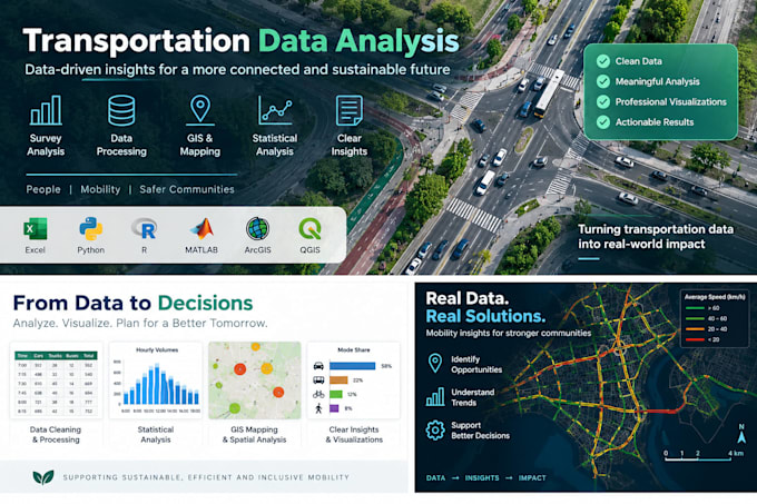
I use Excel, Python, R, GIS, and statistical tools to transform raw data into professional, understandable results.
Please contact me before ordering for large datasets, advanced modelling, extensive free-text responses, or custom analysis.

What types of transportation data can you analyze?
I can analyze traffic counts, turning movements, speed and vehicle classification data, parking surveys, origin-destination data, travel surveys, GPS/mobility data, pedestrian and cycling data, freight data, and other structured transportation datasets.
What file formats can I send you?
Excel and CSV are preferred, but I can also work with GIS files, survey exports, PDFs, traffic-count sheets, GPS data, and other structured formats. If you are unsure whether your data is suitable, please contact me before ordering.
Can you clean and organize my data before analyzing it?
Yes. Basic data cleaning and preparation can be included depending on the package. Datasets requiring extensive restructuring, manual transcription, geocoding, or major quality corrections may require a custom offer.
Can you analyze survey or questionnaire data?
Yes. I can analyze transportation, mobility, travel-behaviour, parking, road-safety, and other survey datasets. This can include descriptive statistics, comparisons, visualizations, and summaries. Large amounts of open-ended/free-text responses may require additional work.
Can you create charts, maps, and visualizations from my data?
Yes. I can create professional charts, tables, traffic visualizations, and GIS maps depending on your project. My tools include Excel, Python, R, ArcGIS, and QGIS.
What if my project is larger or more complex than the packages offered?
Please message me before ordering. I can provide a custom offer for projects involving multiple intersections, large datasets, advanced statistical modelling, GIS analysis, extensive survey responses, traffic simulation, or specialized transportation analysis.
