Browse categories
Explore
Fiverr Pro
English
$
USD




LOST DELIVERIES, INEFFICIENT ROUTES & WASTED LOGISTICS BUDGET? LET YOUR MAPS START WORKING FOR YOU
Poor routing, scattered territories, warehouse confusion, and weak coverage insights drain profits every day.
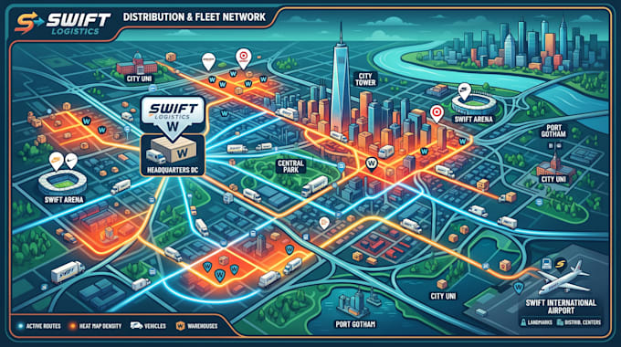
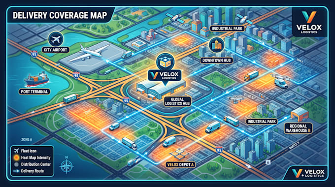
I create Warehouse Maps, Distribution Maps, Fleet Maps, Delivery Route Maps, and Coverage Heat Maps that transform complex logistics into clear, actionable intelligence for smarter decisions.
What You'll Unlock:
Why Clients Return?
Project Assets:
Every map is built to reduce operational costs, improve routing efficiency, reveal hidden opportunities, and support confident decisions.
Message me today and let's create mapping solutions that move your business forward.
Please inform the freelancer of any preferences or concerns regarding the use of AI tools in the completion and/or delivery of your order.
Carthographic and map designer
Languages
Can you map our existing logistics data instead of starting from scratch?
Absolutely. I can transform your spreadsheets, GPS coordinates, addresses, CSV, Excel, GIS data, or operational records into structured warehouse, distribution, fleet, or coverage maps.
What if my routing or warehouse workflow changes later?
Your project can be structured for future scalability, making it easy to add new facilities, delivery zones, fleet assets, service areas, or operational layers whenever your business grows.
Can you create maps for internal operations instead of public presentation?
Certainly. Many projects are built for dispatch teams, warehouse managers, executives, field technicians, and operational planning rather than customer-facing use.
Will the files remain editable for future updates?
Yes, if requested. I can provide editable GIS or vector source files so your team can update locations, routes, territories, or labels without rebuilding the entire map.
Can the maps reveal operational gaps or underserved territories?
Yes. Coverage heat maps and spatial analysis can highlight service gaps, delivery overlaps, high-demand zones, and expansion opportunities for smarter business decisions.