Browse categories
Explore
Fiverr Pro
English
$
USD
Climate, Weather, GIS, Remote Sensing, Data Analysis Specialist
Level 1
Has met certain performance criteria and shows strong potential in the marketplace.
Do you have NetCDF, GRIB, or large climate datasets that you can't open or analyze?
I specialize in transforming complex meteorological and climate datasets into clean, easy-to-use CSV or Excel files ready for analysis, research, or visualization.
With 15+ years of experience in meteorology, climate data processing, and environmental analysis, I can handle a wide range of scientific datasets efficiently and accurately.
What I can do for you:
Supported data sources:
ERA5, IMERG, GPM, GSMaP, MERRA-2, NOAA Reanalysis, CMIP6, WRF output, and more.
Why choose me?
Climate scientist & PhD researcher
Fast, accurate processing
Clear communication
Clean formatting ready for further analysis
Let me know your dataset and what you need extractedI will handle the rest.

Technology:
Excel
•
Jupyter Notebook
Data type:
Numeric
•
String
•
Date
•
Custom
My data file is very large (over 1 GB). Can you handle it?
Yes, I can. You may upload the file via Google Drive, Dropbox, or WeTransfer. I will process it according to your requirements.
Can you extract data for specific coordinates?
Yes. I can generate time-series for a single point, a grid cell, or a defined regional area.
Can you combine multiple years of data into one file?
Absolutely. I can merge, clean, and organize multi-year datasets into a single final CSV/Excel file.
My dataset is not NetCDF/GRIB. Can you still process it?
Yes. I also work with HDF5, WRF binary outputs, text-based climate files, and other scientific formats. You can send me a sample file to confirm.
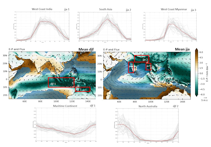
Can you generate charts or maps from the processed data?
Yes. In the Advanced tier, I provide basic visualizations such as time-series plots, climatology, anomalies, or simple maps.
