Browse categories
Explore
Fiverr Pro
English
$
USD



Hello there!
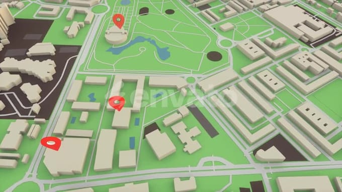
Are you looking to develop a powerful GPS, GIS, or Navigation app tailored to your unique use case? You're in the right place!
I specialize in building high-performance, map-based mobile and web applications designed to track, navigate, analyze, and visualize location-based data in real-time. Whether it's for logistics, travel, agriculture, field data collection, fleet management, or route optimization I've got you covered.
What I Offer
Who It's For
Lets transform your location-based idea into a world-class app!
Ready to get started? Send me a message so we can discuss your project and kickstart it as soon as possible.
I'm a Professional Web designer, App designer and Graphics designer
Languages
What platforms do you develop GPS and GIS apps for?
I develop for Android, iOS, and cross-platform frameworks like Flutter or React Native. I also provide web dashboards and admin panels for backend control.
Can you integrate third-party map APIs like Google Maps or Mapbox?
Yes, I can integrate Google Maps, Mapbox, OpenStreetMap, Leaflet, or any preferred map provider based on your project needs.
Will the app work offline?
Yes, offline functionality is in the standard and premium package. This includes offline map tiles and caching of essential location data.
Can I track multiple users or devices in real-time?
Absolutely! Multi-device tracking and live location sharing can be implemented, including user grouping and filtering on the map.
Do you provide backend and admin dashboard development?
Yes. I provide a secure cloud backend with user authentication, location logs, geofence alerts, and an intuitive web dashboard for admin control.
Will I own the source code?
Yes, full source code and documentation will be handed over after project completion and final delivery.
What kind of GIS features can you implement?
I can build layered mapping, spatial data visualization, distance/area measurements, custom shapefiles, heatmaps, and real-time data overlays.
Do you offer long-term maintenance or support?
Yes, ongoing support and maintenance packages are available monthly. This includes bug fixes, server monitoring, and updates.
Can you help with app deployment to Google Play or App Store?
Absolutely! I offer deployment support and can guide you through the submission process for both stores.