Browse categories
Explore
Fiverr Pro
English
$
USD
Need a Geospatial AI expert to transform satellite data into insights? Stop wasting time with complex workflows and get a professional, custom-built solution tailored to your needs.
Hi! Im Djalil, an AI Engineer with 5+ years of experience in Remote Sensing and GIS. I specialize in processing multi-spectral imagery (Sentinel, Landsat) and building automated geospatial pipelines.
What I offer:
What you get:
Why choose me?
Please message me before placing an order to discuss your requirements!

APIs:
Microsoft Computer Vision AI
•
Google Cloud Vision API
Programming language:
Python
•
R
•
SQL
•
Colab
•
NoSQL
Tools:
Jupyter Notebook
•
OpenCV
•
TensorFlow
•
Excel
•
CVAT
•
Colab
•
PyTorch
Frameworks:
Scikit-learn
•
SimpleCV
•
Keras
•
PyTorch
•
Panda
Can you handle large GeoTIFF files?
Yes. I am used to working with large-scale satellite imagery. I use tiling techniques to process gigabyte-sized files without losing resolution or crashing the model.
Which satellites do you work with?
I can process data from Sentinel-2, Landsat, Planet, or high-resolution commercial satellites, as well as custom RGB/Multispectral drone imagery.
Do you provide the output in a GIS-ready format?
Absolutely. I can deliver results in Shapefile (.shp), GeoJSON, KML, or annotated GeoTIFF, ready to be imported directly into QGIS, ArcGIS, or Google Earth.
Can you perform change detection between two dates?
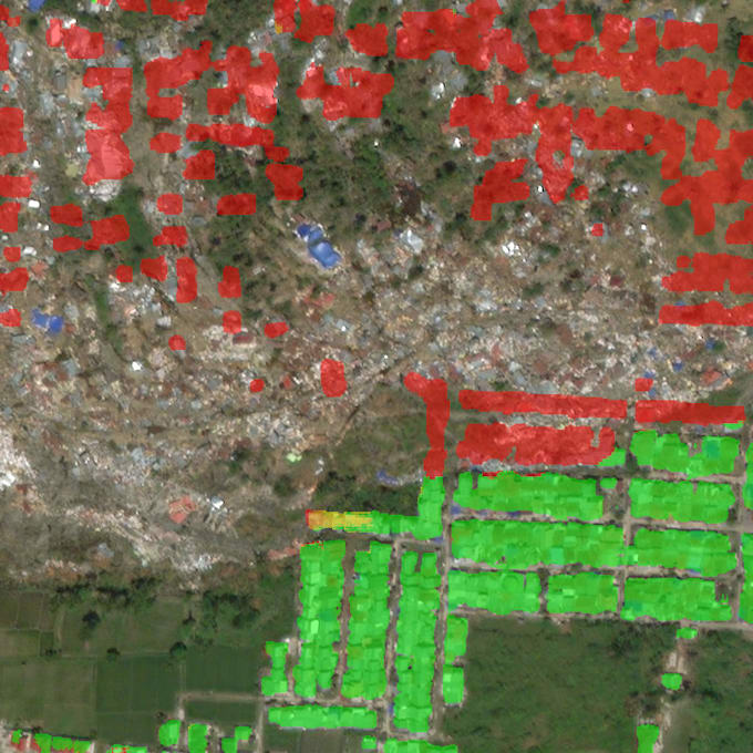
Yes. I can build pipelines to compare imagery from different periods to detect new constructions, deforestation, or agricultural growth.
Do I need to provide the coordinates (EPSG)?
It is preferred. Knowing the Coordinate Reference System (CRS) ensures that the detections are perfectly aligned with your maps.