Browse categories
Explore
Fiverr Pro
English
$
USD

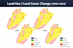
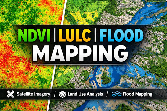
Professional NDVI, LULC & Land Cover Mapping Using Satellite Imagery
Need accurate NDVI analysis, LULC classification, or land cover mapping for research, thesis, or environmental reporting? I deliver precise, publication-ready GIS outputs using industry-standard tools and workflows.
SERVICES:
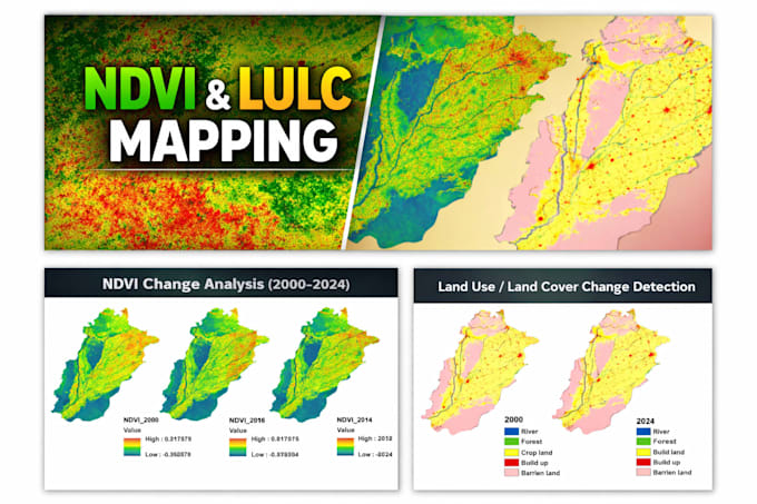
- NDVI (vegetation index) analysis & time-series mapping
- LULC classification (Supervised/Unsupervised)
- Multi-year land cover change detection
- Satellite processing (Sentinel-2, Landsat 8/9, MODIS)
- Accuracy assessment & confusion matrix
- Print-ready cartographic layouts
️ TOOLS: ArcGIS Pro | QGIS | Google Earth Engine | ENVI
DELIVERABLES: GeoTIFF, Shapefile, KML, styled PDF/PNG maps, methodology report
WHY WORK WITH ME:
- 5+ years GIS & remote sensing experience
- Fast, accurate turnaround
- Clear communication at every stage
- Free minor revisions until you're satisfied
BEFORE ORDERING:
Message me your area of interest (shapefile/coordinates), preferred data source, and time period for an accurate quote.
Let's turn your satellite data into clear, actionable insights.
GIS Expert and Spatial Analyst
Languages
Can you work with my custom area or shapefile?
Yes, I can work with any area of interest or provided data.
Are these maps suitable for research or academic work?
Yes, they are suitable for reports, theses, and publications.
Do you provide editable GIS files?
Yes, on request.