Hi, and Welcome to my Gig!
If you're looking for a reliable and experienced GIS professional to handle your mapping, spatial analysis, and remote sensing needs, you've come to the right place! With over 3 years of expertise in ArcGIS, QGIS, ArcGIS Pro, Google Earth, Google Earth Engine, and Erdas Imagine, I'm equipped to take on any GIS-related project, no matter how complex.
My Services Include:
- Geoprocessing and Spatial Data Management
- Geostatistical Analysis and Geospatial Modeling
- Topology and Network Analysis
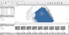
- Land Use/Land Cover Mapping
- Site Suitability Assessment
- Overlay and Weighted Overlay Analysis
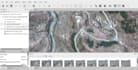
- Remote Sensing Data Acquisition and Processing
- Image Classification (Unsupervised, Supervised, Object-Based)
- Change Detection and Feature Extraction
- Species Modeling and Habitat Mapping
- Satellite Image Enhancement and Fusion
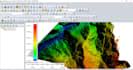
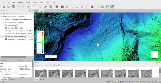
- 3D Terrain Modeling and Elevation Analysis
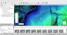
- Cartographic Maps and Visual Presentations
- Story Maps and Interactive Maps
Why Choose Me?
- High-Quality Work: Precise, detailed, and reliable deliverables for all your GIS needs.
- 24/7 Availability: Flexible to meet deadlines and provide support as needed.
- Client Satisfaction: 100% Satisfaction Guaranteed