Browse categories
Explore
Fiverr Pro
English
$
USD

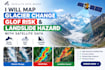
Mountain hazard mapping needs someone who has actually worked in mountains.
I'm a GIS and remote sensing specialist based in the Karakoram, with published research on glacier change at Passu Glacier. I work in Google Earth Engine, ArcGIS Pro and QGIS on Sentinel-1/2, Landsat 5-9, SRTM and ALOS data.
WHAT I DELIVER
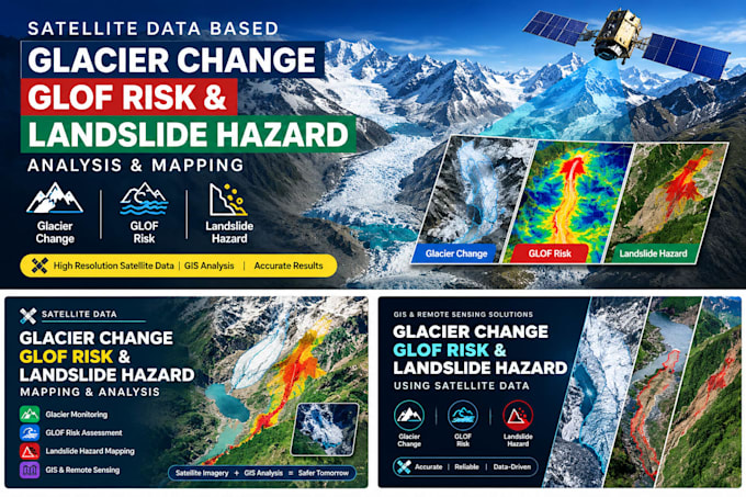
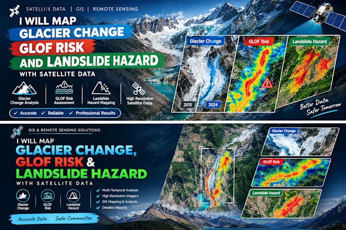
- Glacier extent mapping and terminus retreat rates
- Glacial lake inventory and GLOF susceptibility assessment
- Landslide susceptibility modelling (AHP / weighted overlay)
- Flood extent mapping from Sentinel-1 radar, including under cloud
- Slope, aspect and terrain derivatives from DEM
- Change detection between any two or more dates
YOU RECEIVE
Classified rasters and shapefiles, area and rate statistics, publication-ready map figures, the Earth Engine script, and a methodology write-up with accuracy assessment and citations - ready to drop into a report, proposal or thesis.
TELL ME
Your study area (shapefile or coordinates), the time period, and what decision the analysis has to support. I confirm data availability before you order - radar and optical coverage varies by site.
Message me first and I'll tell you exactly what is possible for your area.
GIS Pro
Languages
Can I use this in a published paper or thesis?
Yes. You get the methodology, sensor and date list, processing steps, accuracy assessment and citations you need for a methods section, plus the Earth Engine script so a reviewer can verify the workflow.
What accuracy can I expect from glacier or landslide mapping?
Glacier extent from Sentinel-2 at 10 m resolution typically maps clean ice to within one or two pixels; debris-covered ice is harder and I say so in the report rather than hiding it. Susceptibility models come with a validation curve, not just a pretty map.
My study area is cloudy or in deep shadow. Can you still do it?
Usually yes. I use cloud masking with median compositing, and switch to Sentinel-1 radar where optical data fails — radar sees through cloud and works at night. I confirm coverage before you order, and tell you if the data genuinely cannot support the analysis.