I will create gis maps and perform spatial analysis using arcgis

A
amincad
A
amincad
Tamim Amin

About this gig

Need Professional GIS Mapping and Spatial Analysis?

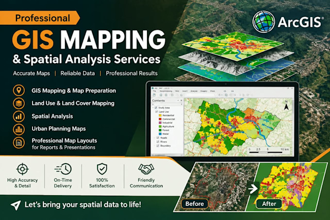
I will create accurate, clear, and professional GIS maps and perform spatial analysis using ArcGIS for urban planning, site assessment, research, and technical projects.

My Services Include:

  • Location and Site Maps
  • Topographic Maps
  • Land Use and Land Cover Maps
  • Road Network Maps
  • Thematic Maps
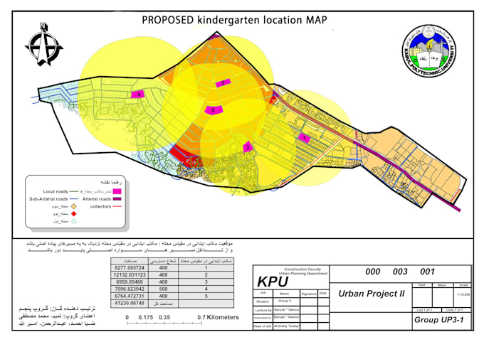
  • Existing and Proposed Development Maps
  • Urban Planning Maps
  • Spatial Data Analysis

What You Will Get:

  • Professional cartographic design and layout
  • Clear labels, legends, scale bars, and north arrows
  • High-resolution PNG, JPG, or PDF maps
  • Editable GIS project files when included in your selected package

I focus on accuracy, visual clarity, organized map layouts, and your project requirements to present geographic information effectively.

Ready to Start? Contact me before ordering to discuss your project and select the right package for your needs. Let's turn your geographic data into professional maps!

Get to know Tamim Amin

Tamim Amin

CAD Designer and 3D Modeling Specialist

  • FromAfghanistan
  • Member sinceJul 2026
  • Avg. response time1 hour
  • Languages

    English, Persian, Pashto
I am Tamim Amin, specializing in AutoCAD 2D architectural drafting, including floor plans, elevations, sections, and detailed technical drawings. I also convert PDFs, sketches, and images into editable DWG files, create architectural 3D models in SketchUp, and design 3D products using Fusion 360. I focus on accuracy, professional quality, clear communication, and on-time delivery to meet your project requirements.

My Portfolio