I will create professional gis map for mining, geology, satellite imagery, project plan

A
andixray
A
andixray
Andi Ramdani

About this gig

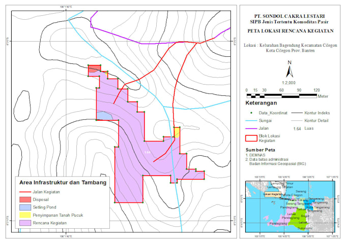
Are you looking for professional GIS maps to support your mining project, geological study, or licensing process?

I am a GIS Analyst Professional with proven experience in creating accurate and visually appealing maps using ArcGIS, ArcMap, and QGIS. I have successfully completed projects for mining companies and environmental studies, including geology, geomorphology, accessibility, quarry resources, and satellite-based mapping.

What I Can Deliver:

  • Geology Maps regional & detailed geology with lithology and structural features
  • Geomorphology Maps landforms, slope, and elevation analysis
  • Accessibility Maps transportation and logistic routes to project areas
  • Project Planning Maps infrastructure layout, disposal areas, ponds, and haul roads
  • Permit Application Maps administrative boundaries, concession blocks, and area calculations
  • Satellite Maps processed imagery showing land cover and field conditions
  • Quarry Resource Maps measured & indicated resources with contour and geology interpretation

Why Choose Me?

  • Hands-on experience in real mining & licensing projects (PT SCL, PT BSDA)
  • Accurate data processing & spatial analysis
  • High-resolution outputs (PDF, PNG, JPEG, or GIS files)
  • Clear ca
Delivery style preference

Please inform the freelancer of any preferences or concerns regarding the use of AI tools in the completion and/or delivery of your order.

Get to know Andi Ramdani

Andi Ramdani

Professional GIS Analyst, Topographic, Geology, Satellite, Thematic

  • FromIndonesia
  • Member sinceSep 2019
  • Avg. response time1 hour
  • Last delivery6 months
  • Languages

    English
Hello! 👋 I am a GIS Analyst Professional with strong experience in spatial analysis and map creation. I specialize in delivering high-quality maps for various purposes, whether for research, planning, or project development. I can help you create: 🗺 Topographic maps (terrain and depth representation) 🛰 Satellite imagery maps with spatial analysis ⛰ Geology and geomorphology maps 📍 Accessibility maps (kesampaian lokasi) 🪨 Quarry source maps and natural resources distribution 🌍 Other thematic and custom maps based on your project needs With my expertise in ArcGIS, ArcMap, and QGIS,

My Portfolio