Browse categories
Explore
Fiverr Pro
English
$
USD

Level 1
Greetings
If you are looking for professional GIS Analyst or Cartographer, then you are at right place.
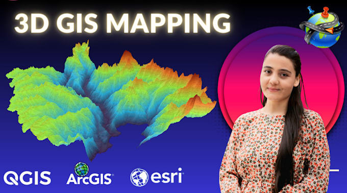
I am specialized in creating eye-catching / interactive maps, which would be useful in presentations, reports and research publications. I will also offer printable maps which can be used for variety of things.
Services i can provide on this GIG:
Assessment
Tools & main services
GIS Analyst
Level 1
Languages
What types of maps can you create?
I can create a wide range of maps, including but not limited to: Topographic maps Thematic maps (e.g., population density, climate data) Land use/land cover maps Transportation networks Environmental analysis maps Custom maps with user-defined data If you have a specific map in mind, feel free to r
What software do you use for creating the maps?
I use industry-standard Geographic Information System (GIS) software to produce high-quality maps: ArcGIS for advanced spatial analysis and cartography. QGIS for open-source and flexible mapping. These tools allow me to create detailed, accurate, and professional maps tailored to your needs.
Do you offer custom GIS analysis along with the maps?
Yes! I provide GIS analysis services such as: Data processing Spatial analysis (e.g., buffering, overlay, proximity analysis) Georeferencing Data visualization Let me know your requirements, and I’ll ensure the analysis is tailored to your project.
Can you work with my data?
Yes! I can work with a variety of data formats, including but not limited to: Shapefiles (.shp) GeoJSON KML/KMZ CSV (with coordinate data) Excel spreadsheets (with coordinates) Feel free to send your data, and I’ll guide you on how best to share it for optimal results.
What kind of files will I receive?
Upon project completion, you’ll receive: High-resolution image files (JPEG, PNG, TIFF) Printable PDFs (if required) The original GIS data files (e.g., shapefiles, GeoJSON) for further use (if requested) Interactive web maps (optional, if applicable) Let me know your preferred file format
Can you help with map design and customization?
Absolutely! In addition to creating maps, I can help with: Custom color schemes Labels and annotations Adding or modifying legends, scale bars, and north arrows Styling and presentation Tell me your design preferences, and I’ll tailor the map to your specifications.
How long will it take to complete my map?
The timeline depends on the complexity and size of the project. Simple maps can usually be completed within 2-3 days, while more complex projects might take longer. I’ll provide a specific timeframe when you share the project details.
Do you offer revisions?
Yes! I offer a set number of revisions based on the package you choose. You can request changes in design, data, or layout, and I’ll make the necessary adjustments to ensure the final map meets your expectations.
Is my data safe with you?
Absolutely! Your data privacy and security are of utmost importance. I handle all data with care and do not share or misuse it in any way. Once the project is complete, I can securely delete your files if requested.
What is your pricing structure?
Pricing varies based on the complexity, size, and specifics of the project. You can check my gig packages for standard pricing, or feel free to contact me for a custom quote based on your needs.
