Browse categories
English
$
USD
Connect to your AI



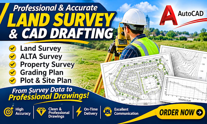
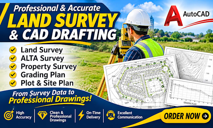
Looking for accurate, professional and detailed land survey drawings in AutoCAD? You're in the right place!
I provide high-quality CAD drafting services for land surveying, property documentation and site development projects. My goal is to transform your survey data, sketches and requirements into clear, precise and professional drawings.
MY SERVICES INCLUDE:
WHY CHOOSE ME?
I work with your provided survey data, measurements, sketches and project specifications to create professional AutoCAD drawings. Field surveying and boundary certification
Send me your project details today. Contact me before ordering for a custom offer, and let's turn your survey information into professional drawings!
Please inform the freelancer of any preferences or concerns regarding the use of AI tools in the completion and/or delivery of your order.
AutoCAD Land Survey and Topographic Drafting Specialist
Languages
What types of land survey drawings do you provide?
I provide professional AutoCAD drafting for land survey plans, ALTA/NSPS survey drawings, property and boundary survey plans, topographic surveys, grading plans, plot plans and site plans based on your supplied data and project requirements.
What information do you need to start my land survey project?
I typically need your survey data, property dimensions, measurements, existing sketches, reference drawings, site photographs or any available project specifications. The more information you provide, the better I can meet your requirements.
Can you convert hand-drawn sketches, PDFs or images into AutoCAD drawings?
Yes! I can convert clear hand-drawn sketches, scanned PDFs, images and existing survey documents into clean, organized and professional AutoCAD drawings.
Do you provide ALTA/NSPS land title survey drafting?*
Yes, I offer ALTA/NSPS survey drafting based on client-provided field survey data, title commitments and applicable project requirements. Fieldwork, professional certification and sealing must be handled by a qualified licensed surveyor.
Can you prepare grading plans and site plans for construction projects?
Yes! I can prepare detailed grading plans and plot/site plans showing property boundaries, elevations, contours, proposed layouts and other relevant site details based on the information provided.
What file formats will I receive?
I can deliver your completed drawings in AutoCAD DWG and DXF formats, as well as PDF for easy viewing, printing and sharing. Please specify your preferred format before ordering.
Do you offer revisions if I need changes to my drawings?
Absolutely! I offer revisions according to your selected package to ensure the drawings meet your provided specifications and expectations. Please communicate your requirements clearly.
Can I contact you before placing an order?
Of course! I encourage buyers to contact me before ordering so we can discuss project requirements, review available documents, determine the scope of work and select the most suitable package for your project.