An adaptable and responsible graduate seeking an entry-level position in engineering which will utilize the technical and creative skills developed as an undergraduate during professional training ses...
I Will Provide Professional GIS Mapping, Analysis, and Remote Sensing Services
Hello! I am a GIS professional with valuable experience working at the GIS Division of the Urban Development Authority (UDA) in Sri Lanka. With a B.Sc. (Hons) Degree in Geo-Spatial Technology and advanced technical expertise, I offer custom geospatial solutions tailored to meet your needs.
What I Offer:
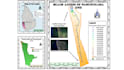
GIS Mapping Professional maps using tools ArcGIS and QGIS
GIS Analysis Spatial, Hydrology, Terrain, Geo Statistical and Network Analysis
Digitization Convert physical features (roads, buildings, land use) to digital data
Georeferencing Align your data with real-world coordinates
Remote Sensing Image analysis to detect changes and identify patterns ( Land Use Classification)
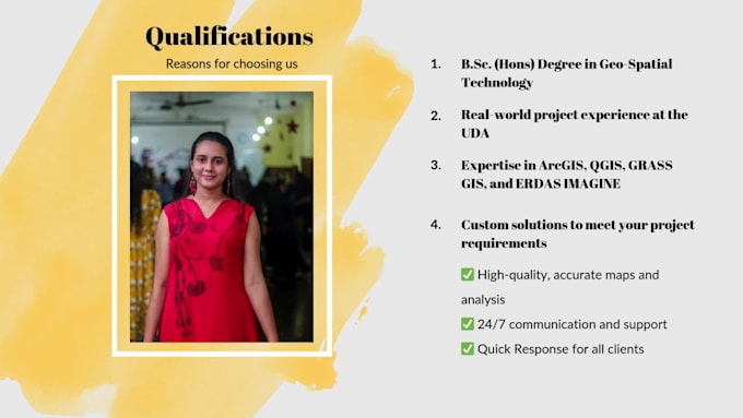
Why Choose Me?
Real-world project experience at the UDA
Expertise in ArcGIS, QGIS, GRASS GIS, and ERDAS IMAGINE
Custom solutions to meet your project requirements
What You Will Get:
High-quality, accurate maps and analysis
24/7 communication and support
Free revisions to ensure your satisfaction
Quick Response for all clients
Please get in touch with me before ordering to discuss your project.