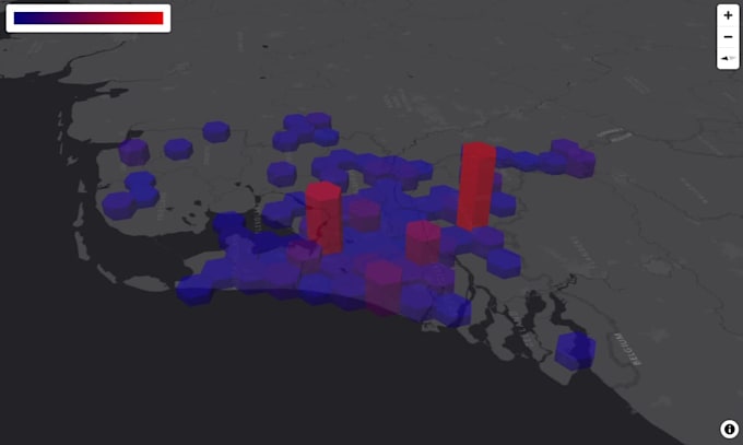
I will visualize geospatial data on h3 hexagonal grid 3d heat map

A
arsenkocharyan
A
arsenkocharyan
Arsen K

About this gig

Make a powerful incredible first impression on the website visitors by the Interactive three-dimensional maps!


Gain the futuristic aesthetic perfect dynamic 3D heatmap for geospatial analysis.

Visualize geospatial data list represent in:

  • Excel / CSV / TEXT
  • PDF / DOC
  • JSON / XML
  • GeoJSON / KML / Shapefile

on the impressive and engaging H3 Uber like hexagonal grid 3D Interactive Heat Map for your Website.

Note that Web application will be based on the free mapping library with free map tiles providers!


IMPORTANT:  Please contact me before order the GIG.

Get to know Arsen K

Arsen K
4.7(8)
  • FromArmenia
  • Member sinceAug 2017
  • Last delivery2 months
  • Languages

    English, Russian, Armenian, French
Salut ! I'm a former Computer Information System (CIS) Instructor. The CIS Tools has a crucial meaning for a business. They helps you to monitor and estimate either the state of each part of system or the state of entire system. Rationally distribute the resources between each nodes of a system. Analyze, evaluate and forecast the dominant trends. The main requirements for this sphere are: Autonomous ( independence, initiative, self motivated ... ) Versatility ( abstract-logical thinking, flexible, adaptive)