Browse categories
Explore
Fiverr Pro
English
$
USD


Are you looking for a professional GIS expert to transform your raw spatial data into beautiful, insightful maps? You are in the right place!
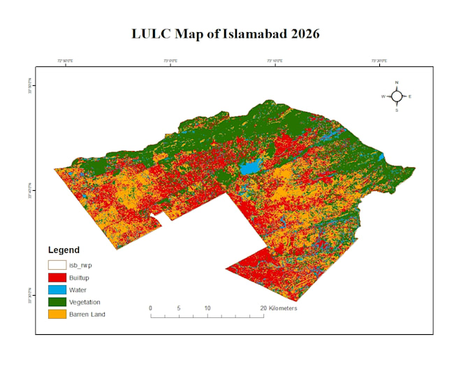
I provide high-quality Geographic Information Systems (GIS), Land Use/Land Cover (LULC) classification, and advanced spatial density heat maps tailored to your specific project needswhether it's for urban planning, environmental studies, real estate, or business analytics.
What I Can Do For You:
Tools & Software I Use:
Why Choose Me?
Professional GIS Mapping and ArcGIS Digitization
Languages
What data or inputs do I need to provide to get started?
Please provide your project requirements, study area (coordinates or location name), and any available data you have (e.g., Shapefiles, KML/KMZ, CSV coordinates, or raw Excel files). If you don't have the data, just let me know your objectives, and I can source public satellite imagery or open-sourc
Which software and tools do you use for the analysis?
Depending on the project requirements, I primarily use industry-standard software including ArcGIS Pro, ArcMap, QGIS, and Google Earth Engine (GEE) for heavy remote sensing and large-scale data processing.
Can you perform time-series or change detection analysis for LULC?
Yes! I can perform Land Use/Land Cover (LULC) change detection analysis across different years (e.g., comparing 2015 vs. 2025) using historical Landsat or Sentinel satellite imagery to show urban growth, deforestation, or environmental shifts.
In what file formats will you deliver the final maps and data?
I deliver high-resolution map layouts in standard visual formats (PDF, JPEG, PNG) ready for presentations or reports. Additionally, I can provide the source spatial data in formats like Shapefile (.shp), GeoJSON, KML/KMZ, or Raster/TIFF, depending on your package and needs.
Do you offer custom orders if my project doesn't fit into your packages?
Absolutely! GIS projects vary greatly in complexity. Please send me a message with your specific project details, and I will create a tailored custom offer that perfectly fits your budget and timeline.