Browse categories
English
$
USD
Connect to your AI

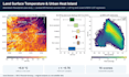

Need GIS work done properly the first time? I am a GIS and remote sensing researcher (PhD researcher at Tianjin University, MS from CUG Wuhan, 9 publications) with professional cadastral GIS experience. I handle any GIS task end to end:
MAPPING: study area and thesis maps, thematic maps, cartography, layouts, web maps
DATA: digitizing, georeferencing, cadastral/parcel mapping, geodatabases, projections, data cleaning, format conversion (SHP, KML, GeoTIFF, CAD, CSV)
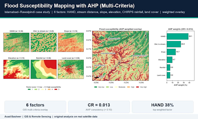
ANALYSIS: site suitability (AHP/weighted overlay), buffer/overlay, hotspot, interpolation (IDW, kriging), network analysis, zonal statistics
TERRAIN & WATER: DEM, slope, watershed delineation, stream networks, flood risk zones
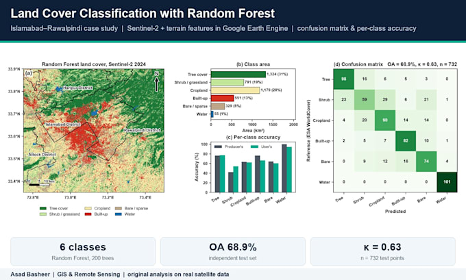
REMOTE SENSING: NDVI/NDWI, LULC classification, change detection, land surface temperature, Google Earth Engine
AUTOMATION: Python (arcpy, GeoPandas, rasterio), ModelBuilder
Software: ArcGIS Pro, QGIS, ENVI, SNAP, Google Earth Engine, Python
Every delivery includes source files and a short method note. Students, researchers, NGOs and companies are welcome. Message me with your task before ordering so I can confirm scope and price.
GIS and Remote Sensing Expert for InSAR and Google Earth Engine
Languages
Do I need to provide the data?
Not necessarily. I can use free datasets such as Landsat, Sentinel, SRTM/ALOS DEM, OpenStreetMap and administrative boundaries. If you have your own data, send it and I will use it.
Will you explain the method used?
Yes. Every delivery includes a short method note with the data sources, tools and steps used, so you understand and can reproduce the results.
Which file formats do you deliver?
Any format you need: PNG/JPG/PDF maps, shapefiles, GeoPackage, KML, GeoTIFF, CSV/Excel, plus ArcGIS Pro (APRX) or QGIS (QGZ) project files.