I will provide gis and spatial analysis services

A
ashanpradeep301
A
ashanpradeep301
Ashan Pradeep

About this gig

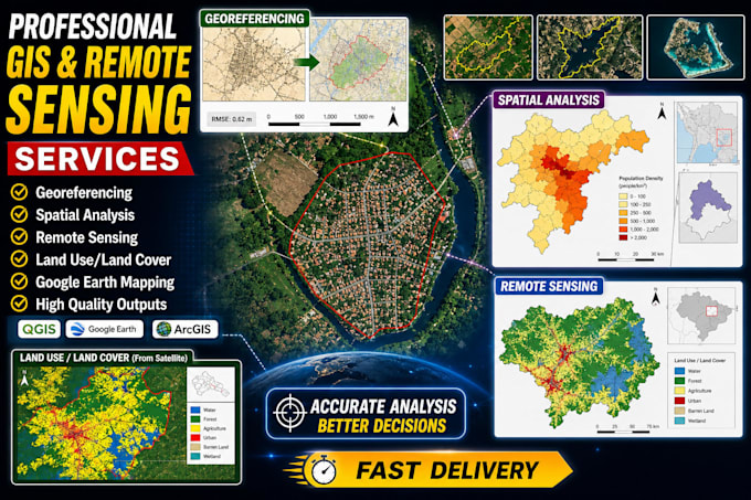
Welcome to professional GIS solutions powered by over 10 years of hands-on experience in Gis, remote sensing, and web mapping. I specialize in transforming complex spatial data into clear, accurate, and decision-ready insights for researchers, organisations, engineers, and environmental professionals worldwide.

My work focuses on delivering reliable geospatial analysis, high-quality mapping outputs, and modern web-based visualization tools that support real-world decision-making.

GIS Analysis Services

  • Advanced spatial data processing and analysis
  • High-quality GIS and cartographic map design
  • Geospatial database development and management
  • Custom GIS workflow and tool creation
  • Spatial modeling and analytical solutions

Remote Sensing & Environmental Analysis

  • Satellite image processing and interpretation
  • Land use and land cover classification
  • Change detection analysis over time
  • Climate and weather data assessment
  • Watershed and hydrological modeling
  • Ecological and habitat suitability analysis

Web Mapping Services

  • Interactive and responsive web map development
  • GIS data integration into web applications
  • Custom map interface design and optimization
  • 2D and 3D web mapping

Get to know Ashan Pradeep

Ashan Pradeep

Expert in GIS, Remote Sensing ,Autocad and Machine Learning , GIS Consultant

  • FromSri Lanka
  • Member sinceJun 2025
  • Avg. response time1 hour
  • Languages

    Sinhala, Tamil, English
I am a B.Sc. (Hons) graduate in Surveying Science, specializing in Remote Sensing and GIS, with over 8 years of experience in GIS mapping and geospatial analysis. I currently work as a GIS and Data Analyst at the International Water Management Institute (IWMI), delivering reliable geospatial solutions. Expertise: GIS mapping (ArcGIS Pro, ArcMap, QGIS), spatial analysis, remote sensing (GEE), Web GIS, georeferencing, digitizing, spatial databases, Python automation, and hydrology and urban analysis. I deliver accurate, clear, and high-quality GIS outputs tailored to your needs.

My Portfolio