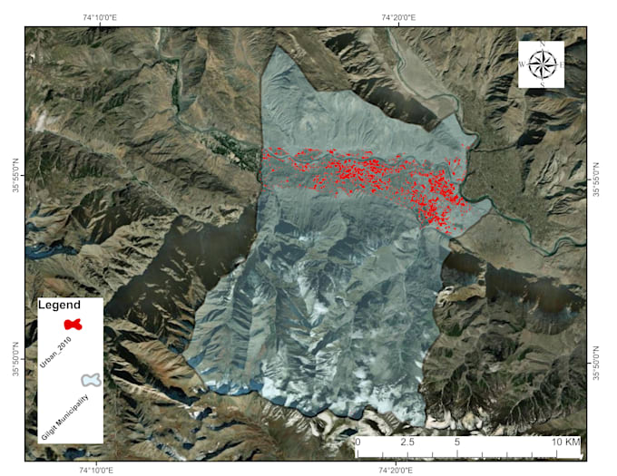
Are you tired of manually entering data from maps and aerial imagery? Let me help! I am a skilled digitization specialist proficient in Google Earth Pro, ArcMap, and QGIS. I can accurately and efficiently convert physical maps, PDFs, and satellite images into digital formats, saving you time and resources.
My Services:
- Point, line, and polygon digitization: Extract features like buildings, roads, landmarks, and boundaries with precision.
- Attribute creation and population: Add relevant information to your digitized features, enriching your data.
- Format conversion: Deliver your data in the format you need (e.g., shapefiles, geodatabases, CSV).
- Quality control: Ensure accuracy and consistency throughout the digitization process.
Benefits of Working with Me:
- Fast turnaround times: Get your project completed efficiently without compromising quality.
- Competitive rates: Enjoy affordable pricing that fits your budget.
- Clear communication: Stay informed throughout the project with regular updates and progress reports.
- Satisfaction guaranteed: I am committed to your satisfaction and offer revisions to ensure you are happy with the final product.