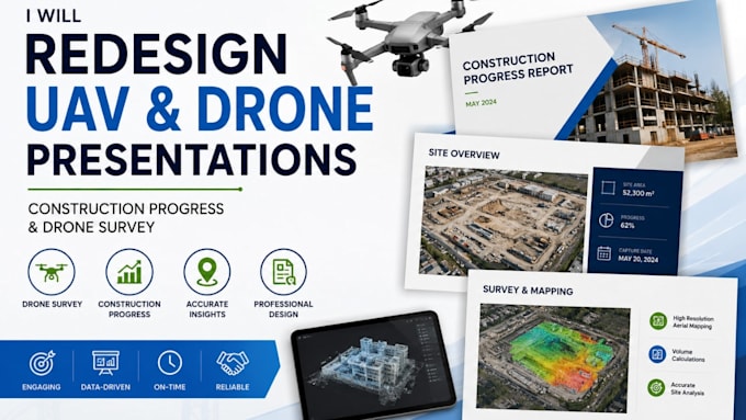
I will redesign uav construction progress and drone survey presentations

A
audreycollins80
A
audreycollins80
Audrey Collins

About this gig

Do you have drone survey data, aerial photos, site progress updates, or construction documentation that needs to look professional and easy to understand?


I will redesign your UAV construction progress and drone survey presentation into a clear, polished, and visually engaging PowerPoint deck for clients, contractors, project managers, engineers, and stakeholders.


I can transform your existing slides, reports, drone images, maps, charts, site plans, progress data, and technical information into professional presentation slides.


SERVICES INCLUDE:

  • UAV and drone survey presentations
  • Construction progress reports
  • Aerial site documentation
  • Drone mapping and survey visuals
  • Before-and-after progress comparisons
  • Project timelines and milestones
  • Site maps, diagrams, charts and data visualization
  • Technical PowerPoint redesign
  • Client and stakeholder presentation decks


I focus on clean layouts, strong visual hierarchy, technical accuracy, and easy-to-understand visual communication.


Send me your existing presentation, report, images, or project information, and Ill turn it into a professional presentation ready for your next project meeting or client review.

Delivery style preference

Please inform the freelancer of any preferences or concerns regarding the use of AI tools in the completion and/or delivery of your order.

Get to know Audrey Collins

Audrey Collins

Technical Engineering, Infrastructure Presentation Designer

  • FromFrance
  • Member sinceAug 2026
  • Avg. response time3 hours
  • Languages

    French, English
I’m a technical presentation designer specializing in engineering, surveying, construction, telecommunications, and infrastructure projects. I transform complex reports, maps, data, and technical information into clear, polished, and engaging presentations. My services include PowerPoint redesign, technical diagrams, data visualization, infographics, drone mapping, UAV surveys, geotechnical reports, fiber optic and FTTH projects, and construction progress presentations. I focus on accuracy, visual clarity, and professional communication.