Browse categories
Explore
Fiverr Pro
English
$
USD

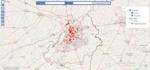
Do you need professional WebGIS apps, interactive dashboards, or custom
web maps for your project?
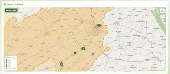
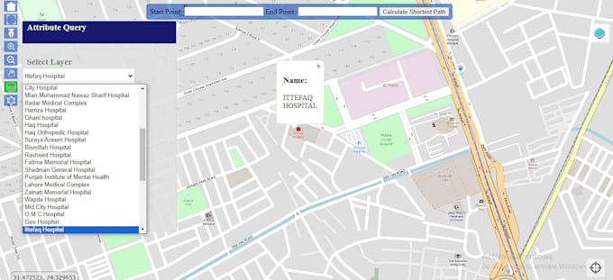
I will build WebGIS applications, interactive dashboards, and custom web
maps tailored to your spatial data needs. Whether you require a simple
interactive map or a full data-driven dashboard, I'm here to help. Get
precise, interactive, and user-friendly WebGIS solutions delivered fast.
As a GIS specialist with an MPhil in GIS and 5+ years of experience, I
offer high-quality WebGIS development using Leaflet, Mapbox, PostGIS,
and ArcGIS. Whether it's real estate mapping, land records, forest
monitoring, or urban planning, I can build it.
Services include:
Interactive Web Maps & Dashboards
WebGIS Apps using Leaflet, Mapbox, ArcGIS
Site Plan & Land Record Overlays
Spatial Data Analysis & Visualization
GeoJSON, Shapefile, KML, CSV Data Integration
PostGIS Database Integration
Embedding Maps into Websites
Let's turn your spatial data into a powerful, interactive WebGIS
application. Contact me now before placing the order for a free
consultation!
GIS Developer Building Interactive Web Maps and Dashboards
Languages
What information should I share before we start the project?
Just send your existing spatial data (if any), a brief on what the map or dashboard should show, and any reference sites you like.
Do you build maps that I can embed directly into my website?
Yes, I deliver maps and dashboards ready to embed into any website, with the code and integration steps included.
How is a WebGIS dashboard different from a regular map?
A regular map just displays locations, while a WebGIS dashboard adds interactivity, filters, layers, and live data users can explore.
Can my dashboard update automatically with new data?
Yes, live or frequently updated data sources can be connected so your dashboard reflects changes without manual edits.
What software and technologies do you work with?
I primarily use Leaflet, Mapbox, PostGIS, and ArcGIS, along with modern JS frameworks depending on project needs.