Browse categories
English
$
USD
Connect to your AI





_vkhzxf.jpg)
_v7ac7d.jpg)
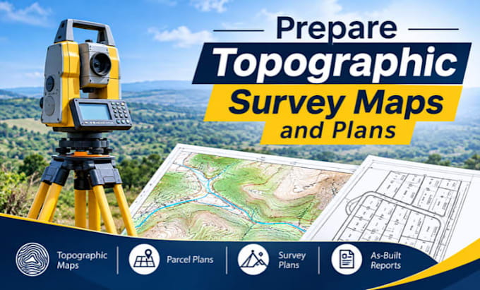
I provide professional field survey data processing and drafting services, including survey site plans, topographic maps, parcel boundary demarcation plans, and as-built survey reports.
Software and Tools:
Services Included:
Please Note: message me before placing an order to discuss your project requirements and confirm the scope of work.
Regards
Please inform the freelancer of any preferences or concerns regarding the use of AI tools in the completion and/or delivery of your order.
Languages
What types of survey data do you accept?
I accept CSV, TXT, Excel, DWG, DXF, LAS, and other compatible survey files.
Can you create topographic maps?
Yes, I create detailed topographic maps with contours, spot elevations, and surface features.
Can you prepare parcel boundary plans?
Yes, I prepare parcel, lot, and boundary demarcation plans.
Do you process raw field survey data?
Yes, I process raw survey data and convert it into professional drawings and reports.
Can you generate TIN surfaces and DEMs?
Yes, I create TIN surfaces, Digital Elevation Models, and contour maps.
Do you process LiDAR point cloud data?
Yes, I process and work with LiDAR point cloud data using compatible software.
Can you provide road profiles and cross-sections?
Yes, I prepare road corridor designs, longitudinal profiles, cross-sections, and superelevation.
Can you calculate cut-and-fill volumes?
Yes, I provide earthwork calculations, excavation quantities, and volume reports.
What software do you use?
I use AutoCAD Civil 3D, Carlson Survey, Leica LISCAD, ReCap, and Leica JetStream Viewer.
Can you handle custom survey projects?
Yes, contact me with your project details to discuss the requirements, deliverables, and timeline.