Browse categories
Explore
Fiverr Pro
English
$
USD




Welcome to my Gig!
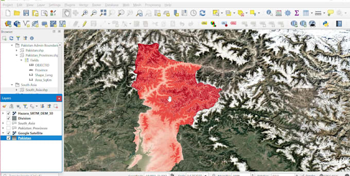
Are you looking for accurate, professional, and high-quality GIS mapping services? You are in the right place. I will create customized maps and GIS projects using QGIS for civil engineering, urban planning, research, and land management.
My Services Include:
Why Choose Me?
Deliverables
Please contact me before placing an order so we can discuss your project requirements and choose the best package for your needs.
I look forward to working with you!
Civil Engineer,AutoCAD,Revit,primaeria p6,plaxis,planswift
Languages
What services do you provide?
I provide professional QGIS mapping, GIS digitization, georeferencing, shapefile creation, map layouts, road and sewerage mapping, land use mapping, and GIS data conversion.
What do I need to provide before placing an order?
Please provide your project details, map data, satellite image, PDF, CAD file, KML/KMZ, or any reference files. If you're unsure, contact me before ordering.
Which file formats will I receive?
I can deliver QGIS (.qgz), Shapefile (.shp), KML/KMZ, GeoJSON, PDF, PNG, JPG, and other GIS formats upon request.
Can you digitize maps from satellite images or PDFs?
Yes. I can digitize roads, buildings, parcels, sewer networks, and other GIS features from satellite images, scanned maps, or PDFs.
Can you create map layouts for printing?
Yes. I create professional layouts including a title, legend, north arrow, scale bar, labels, and coordinate grid.
Do you provide editable source files?
Yes. I can provide editable QGIS project files and GIS datasets if requested.
Can you work on civil engineering GIS projects?
Yes. I can create maps for roads, sewerage systems, water supply networks, land development, and other civil engineering projects.
Do you offer revisions?
Yes. Revisions are included according to your selected package. Additional revisions are also available.
How long does it take to complete a project?
Delivery depends on the project's size and complexity. Small projects are usually completed within 1–2 days.
Should I contact you before placing an order?
Yes. Please contact me first so we can discuss your requirements and choose the best package for your project.