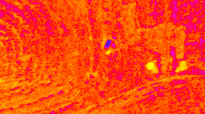
I will detect buried archaeological sites and ancient structures using remote se

B
bashar_moh1
B
bashar_moh1
Bashar

About this gig

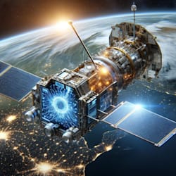
Expert Remote Sensing Specialist with 10+ years detecting anomalous structures and buried archaeological features using high-resolution satellite imagery.

I specialize in non-invasive detection of ancient sites, tombs, walls, and buried artifacts (including potential treasures) through advanced remote sensing techniques. Using tools like ENVI, ArcGIS, QGIS, SNAP.

What I Offer:

  • Download and process multispectral/SAR satellite images
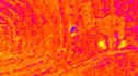
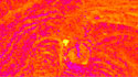
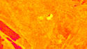
  • Anomaly detection via PCA, band ratios, and spectral analysis
  • Identification of crop marks, soil marks, shadow marks, and damp marks
  • Change detection and data fusion for buried features
  • High-accuracy mapping of potential archaeological zones
  • Detailed reports with GPS coordinates and interpretations

Proven expertise in identifying ancient sites through innovative anomaly detection techniques. Analyzed thousands of images for geospatial projects.

Provide location coordinates I'll deliver maps (GeoTIFF, Shapefiles, KMZ), before/after comparisons, and professional insights for your archaeological exploration or research.

Contact for custom needs!

Get to know Bashar

Bashar
  • FromSaudi Arabia
  • Member sinceDec 2025
  • Avg. response time1 hour
  • Languages

    English, Arabic
Remote Sensing Specialist with over 15 years of hands-on experience in satellite image analysis for mineral exploration (gold, copper, platinum), archaeological site detection, and hydrocarbon prospecting. I download and process thousands of images from reliable sources using professional tools like ENVI, ArcGIS, QGIS, SNAP, and PCI Geomatica. Expertise in optical/SAR data, PCA, Band Ratio, fault line extraction, and creating high-accuracy prospecting maps.