Browse categories
Explore
Fiverr Pro
English
$
USD


Need a clear, professional map for your report, project or presentation?
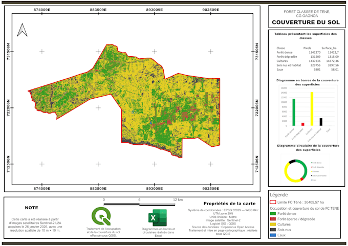
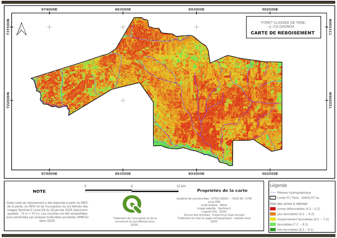
I will create a custom location map using QGIS and the geographic data you provide. I have a background in forestry, GIS and environmental mapping.
THIS PACKAGE INCLUDES:
ACCEPTED INPUTS:
Excel or CSV coordinates, KML, GeoJSON and Shapefile. Please provide the coordinate system if known.
Field surveys, complex data cleaning, satellite analysis, interactive web maps and editable source files are not included. New areas or replacement datasets require a separate quote.
Please message me before ordering if your data needs checking or your request falls outside this scope.
Communication is available in English and French, entirely online.
Agricultural Technical Engineer
Languages
What do I need to provide?
Please upload your geographic files or coordinate table and specify the area, map purpose, title and preferred page size. Include the coordinate system if known. If you are unsure, message me before ordering so I can check your data.
What does the included revision cover?
One revision covers changes to colours, labels and layout within the original scope. A new area, replacement dataset or additional analysis requires a separate quote.
Which files will I receive?
You will receive one map exported as a high-resolution PDF and PNG, ready for printing or inclusion in a report. Editable QGIS project files and geographic datasets are not included in this package.