Browse categories
Explore
Fiverr Pro
English
$
USD
DTM, DEM, Elevation, Terrain Mapping
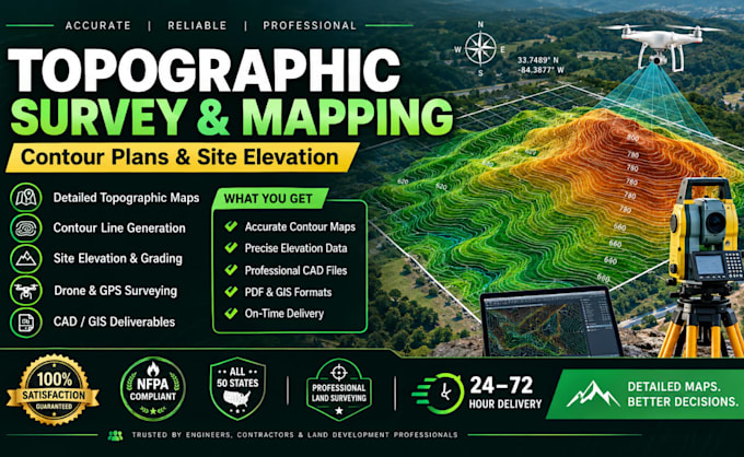
Need a precise topographic survey or topographic map for your project? I specialize in topographic survey, topographic mapping, topographic drawing, and contour plan services using field survey data, GPS points, or drone LiDAR scans. My deliverables are accurate, to-scale, and ready for engineering or architectural use.
What I offer:
I work with civil engineers, land developers, architects, and construction companies who need clean topographic drawings for design, planning, or permit submission. All contour lines and elevation points are checked for accuracy before delivery.
Just send me your point cloud, coordinate list, or drone/LiDAR data and I will convert it into a professional topographic map and contour plan. Message me first for large sites or custom contour intervals so I can give you an accurate quote and timeline

Project scale:
Building complex
Building type:
Residential
•
Commercial
•
Office & workspace
Material speciality:
Concrete
•
Steel
Please inform the freelancer of any preferences or concerns regarding the use of AI tools in the completion and/or delivery of your order.
What data do I need to send you to create a topographic survey or map?
Send whatever you have: raw survey points (X, Y, Z in CSV/TXT/Excel), a point cloud from drone/LiDAR scanning, a Total Station export, or even an existing rough sketch or PDF you want converted.
What contour interval can you work with?
I can generate contours at any interval you need commonly 0.5m, 1m, or 2m depending on terrain steepness and project purpose (drainage design, grading, site planning, etc.). If you're not sure which interval fits your project, send me the site size and intended use and I'll recommend one.
Can you create a topographic map from a drone survey or satellite images?
Yes. I can process drone photogrammetry point clouds or georeferenced imagery into an accurate topographic map with contours and spot elevations. If your source is satellite imagery without elevation data, let me know beforehand accuracy will depend on what elevation reference is available.
What file formats will I receive?
Standard deliverables are DWG/DXF (CAD-ready topographic drawing with contours), PDF (print-ready map), and on request, a shapefile or KML for GIS use. Let me know your required format and software (AutoCAD, Civil 3D, QGIS, etc.) before ordering.
How large an area can you handle, and how long will it take?
I've worked on everything from small residential lots to larger multi-hectare sites. Turnaround depends on data volume and area size a small site with clean point data usually takes 1–2 days, while large point clouds or drone datasets needing cleanup take longer.
