Browse categories
English
$
USD
Connect to your AI
Geospatial Analyst
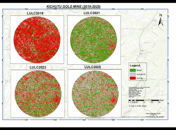
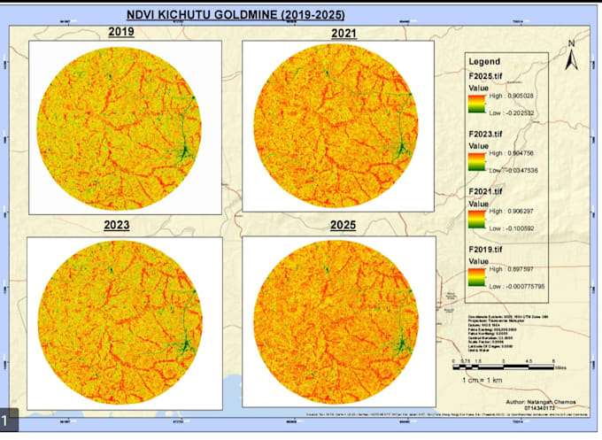
I provide professional Land Use and Land Cover (LULC) classification and satellite image analysis using Google Earth Engine (GEE). I specialize in processing Sentinel-2 and Landsat satellite imagery to produce accurate land cover maps, identify land use changes, and support environmental monitoring and spatial planning.
My services include supervised and unsupervised classification, training sample selection, image preprocessing, vegetation and water index analysis, accuracy assessment, and change detection. I also create clear, high-quality thematic maps and export classified raster data for further analysis in ArcGIS Pro, ArcMap, and QGIS.
Whether you need land cover classification for academic research, agriculture, urban development, environmental conservation, or GIS projects, I deliver reliable geospatial insights tailored to your needs.