Browse categories
English
$
USD
Connect to your AI




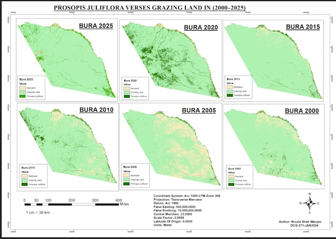
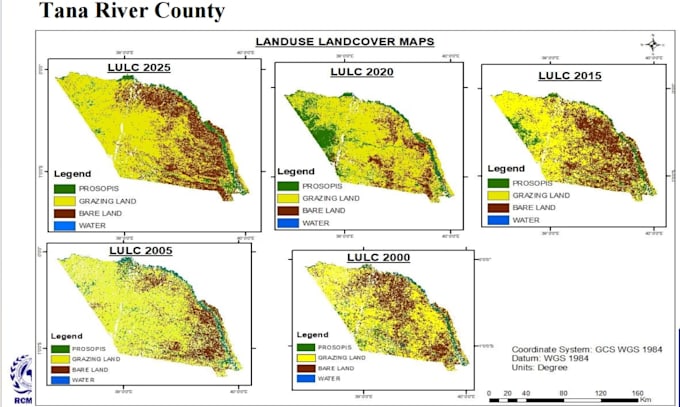
I will provide professional Land Use and Land Cover (LULC) classification and analysis using Google Earth Engine, ArcGIS Pro, and QGIS. I work with satellite imagery to identify and map different land-cover types, including vegetation, water bodies, built-up areas, bare land, and agricultural land.
My services include Random Forest classification, LULC mapping, multi-year change detection, accuracy assessment, area calculations, and NDVI analysis. I deliver accurate, high-quality maps and GIS-ready outputs to support environmental monitoring, research, and informed decision-making.
Let me help you turn satellite data into meaningful geospatial insights.
Geospatial Analyst
Languages