Browse categories
Explore
Fiverr Pro
English
$
USD


Hi KANNAR ALI
I am a geologist skilled in ArcGIS, I am capable of digitizing multiple layers from various maps and collecting relevant information on rock types, structures, fossils, fault lines, alteration zones, mineralization zones, rivers, roads, streams, and contours maps.
. This process includes using GPS technology, conducting field research, and utilizing internet resources. The data will then be analyzed using specialized software to generate a digital maps. To clearly indicate different rock formations, the map will utilize geological symbols and colors.
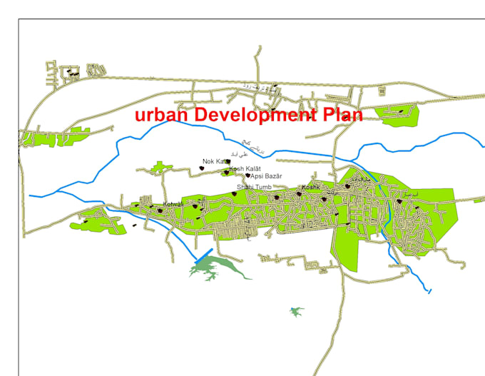
Additionally, I can Georeference and digitize topo sheets, old maps. I can also create geo-database, create shapefile of any geological formation,Urban Development Plan Maps.
I am committed to delivering high-quality work to the best of your satisfaction.
· digitization
· arcgis
· gis mapping
· georeferencing
· shapefile
Languages