Browse categories
Explore
Fiverr Pro
English
$
USD
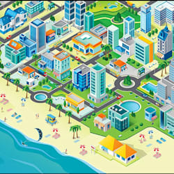

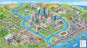
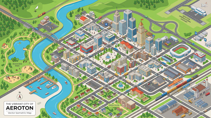
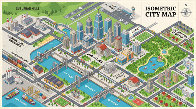
Looking for a professional isometric map, interactive map, vector map illustration, custom map design, or digital cartography service?
I create high-quality maps that combine isometric design, vector illustration, GIS mapping, and interactive functionality to deliver clear and visually engaging location visuals.
These maps are perfect for resorts, campgrounds, RV parks, real estate developments, tourist destinations, theme parks, campuses, cities, events, and business locations.
My maps help users easily understand spaces, navigate locations, and explore environments through clean design and structured layout.
What I Can Create
Isometric Maps
Interactive Maps
Vector Map Illustrations
Tourist Maps
Resort Maps
Campground Maps
Property Maps
Site Plans
Location Visualization Maps
Digital Maps
Why Choose Me
Professional Cartography & GIS Experience
Clean and Modern Design Style
Easy-to-Read Layouts
Print & Digital Ready Files
High Resolution Output
Commercial Use Included
KINDLY CONTACT ME BEFORE YOU PLACE ANY ORDER I will deliver a professional design tailored to your project needs.
Please inform the freelancer of any preferences or concerns regarding the use of AI tools in the completion and/or delivery of your order.
Vector Map Design, GIS Mapping, Cartography, Site Plans, Interactive Maps
Languages