Browse categories
English
$
USD
Connect to your AI


Hello and welcome!
Are you looking for professional GIS mapping services for your project, research, business, or organization?
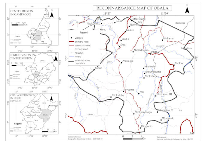
I will create high-quality maps using QGIS and geospatial data tailored to your specific needs. Whether you need thematic maps, land use maps, environmental maps, administrative maps, or spatial analysis, I can deliver clear, accurate, and visually appealing results.
Professional cartographic design
Custom map layouts
Spatial analysis and geoprocessing
High-resolution PDF, PNG, and JPEG exports
QGIS-based workflows
Fast communication and reliable delivery
I can work with your own data (Shapefile, GeoJSON, KML, GPX, CSV, Excel) or publicly available datasets.
My goal is to transform your spatial data into professional maps that support reporting, planning, decision-making, and presentations.
Feel free to contact me before placing an order to discuss your project requirements
GIS Specialist, QGIS Mapping, Spatial Data Processing
Languages
What data formats do you accept?
I accept Shapefile, GeoJSON, KML, KMZ, GPX, CSV, Excel, GeoPackage, and other common GIS formats.
Can you create maps from my data?
es. You can provide your GIS data and I will create a customized professional map according to your requirements.
What file formats will I receive?
Depending on the package, you can receive PDF, PNG, JPEG, and other requested formats.
Do you provide GIS analysis?
Yes. I can perform spatial analysis, buffers, overlays, proximity analysis, land use mapping, and other GIS tasks.
Can you make maps for academic or research projects?
Absolutely. I regularly create professional maps for research, reports, theses, and presentations.