Browse categories
Explore
Fiverr Pro
English
$
USD


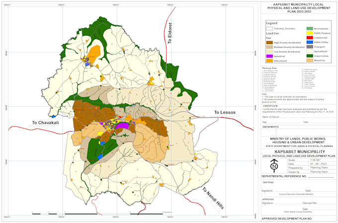
Are you in need of accurate, professional, and visually compelling GIS mapping services? I deliver custom, high-quality GIS solutions for cadastre mapping, land use development plans, land use/land cover (LULC) mapping, suitability analysis, and general spatial analysis. From a single map to a full multi-layer analysis, I provide clear, decision-ready outputs tailored to your needs.
Services:
Why Me?
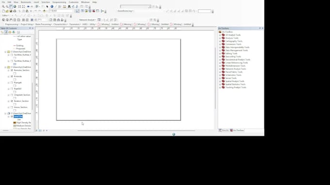
Skilled in ArcGIS, QGIS, AutoCAD, GEE
High-quality, presentation-ready maps & reports
Flexible packages, fast delivery, editable GIS files available
Deliverables: Professional maps with legends, scales & symbology, analytical reports (Standard & Premium), and decision-ready visuals for technical & non-technical audiences.
Whether you are a municipality, real estate developer, environmental consultant
STORY MAPS GIS MODELLING ESRI ONLINE HEC HMS SWAT ANALYSIS SUITABILITY
Languages
What information or data do I need to provide for you to create my GIS maps or analysis
I can work with a variety of inputs, including shapefiles, KML/KMZ, coordinates, survey data, or scanned maps. If you don’t have GIS data, I can help identify the datasets needed based on your project goals.
Can you work with raw data, or do I need to have my data already processed and cleaned before starting the project?
I can handle both raw and processed data. If your data is unprocessed, I will clean, organize, and prepare it as part of my workflow to ensure accurate and professional outputs.
How do you ensure the accuracy and reliability of the maps and analysis you deliver?
I use reputable spatial datasets, maintain proper georeferencing, and apply quality control checks at every stage. When possible, I cross-verify results with multiple sources and industry standards.
| (1) | ||
| (0) | ||
| (0) | ||
| (0) | ||
| (0) |
asmaabuhatab

Jordan
Good work thx 🙏
Up to $50
Price
3 days
Duration

Seller's Response
| (1) | ||
| (0) | ||
| (0) | ||
| (0) | ||
| (0) |
asmaabuhatab
Jordan
Good work thx 🙏
Up to $50
Price
3 days
Duration
Seller's Response