Browse categories
Explore
Fiverr Pro
English
$
USD

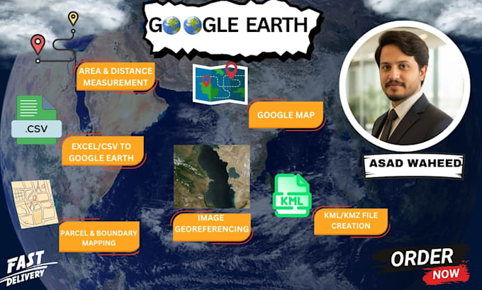
I provide comprehensive Google Earth mapping solutions for businesses, researchers, educators, and individuals. With expertise in Google Earth Pro and online tools, I'll transform your geographical data into visually compelling maps and tours.
Services I Offer:
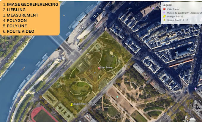
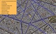
Path Creation - Route mapping, trails, travel routes
Polygon Mapping - Area marking, boundary mapping, zones
Point Marking - Location pinpointing with custom icons
Image Export - High-resolution map exports for presentations/reports
Video Tours - Animated fly-through tours with narration/text
Path Tours - Guided tours along specific routes
KML/KMZ Files - Shareable Google Earth compatible files
Custom Mapping - Thematic maps with layered data
ArcGIS Expert and Mapping and Analysis
Languages
What information do you need from me?
Provide coordinates, addresses, or a rough sketch. For tours, share the sequence and any text/narration.
What formats do you deliver?
KML, KMZ, JPG, PNG, MP4 (for videos), PDF.
Can you work with GPS data?
Yes, I can import GPS data from various devices/formats.
Do you provide source files?
Yes, all source KML/KMZ files included.
What's your revision policy?
Each package includes specified revisions. Major changes beyond scope may require extra fee.