Browse categories
English
$
USD
Connect to your AI



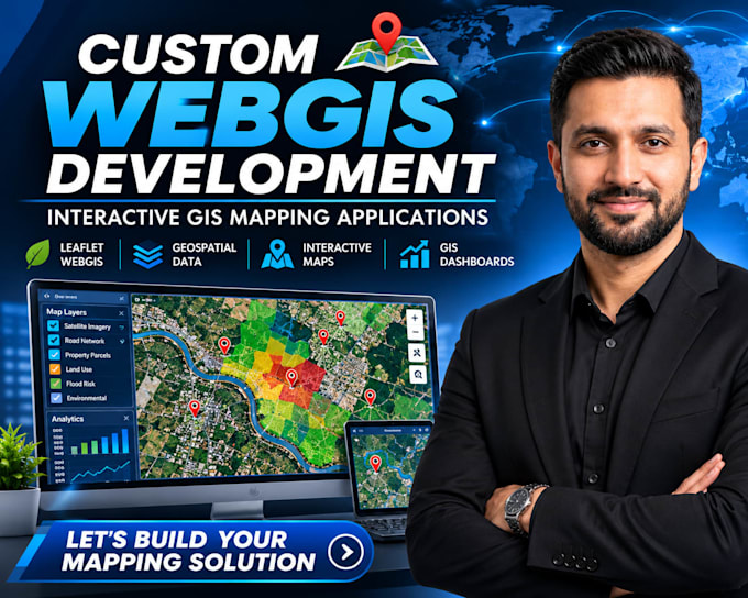
Looking for a professional WebGIS developer to build a custom interactive mapping application for your business or project?
I develop custom WebGIS applications using Leaflet, JavaScript and geospatial technologies, helping businesses turn location-based data into interactive mapping solutions.
WHAT I CAN DEVELOP:
WHO I WORK WITH:
TECHNOLOGIES: Leaflet.js, JavaScript, HTML, CSS, GeoJSON, QGIS, OpenStreetMap and REST APIs.
Whether you need a property mapping system, an interactive GIS dashboard or a complete WebGIS application, I can help bring your project to life.
Message me before ordering so we can discuss your requirements and the right solutio
GIS Development, GIS Analysis, Cartography, Web Mapping
Languages
Can you develop a custom WebGIS application for my business?
Yes. I can develop custom WebGIS applications tailored to your business requirements, including interactive maps, geospatial data layers, search and filtering functionality.
Can you integrate my existing GIS data into a Leaflet mapping application?
Yes. I can integrate GeoJSON, CSV and other supported geospatial data formats into your mapping application.
Can you build a property mapping or location intelligence platform?
Yes. I can develop interactive property maps, location-based dashboards and custom mapping solutions for real estate and business applications.
Can you add multiple map layers, filters and interactive features?
Absolutely. I can implement multiple map layers, custom markers, interactive popups, search tools, filters and other features based on your project scope.
Can you develop a complete WebGIS application from scratch?
Yes. I can build your WebGIS application from the ground up, including the frontend, mapping functionality, data integration and deployment assistance. Please contact me to discuss your requirements.