Browse categories
English
$
USD
Connect to your AI

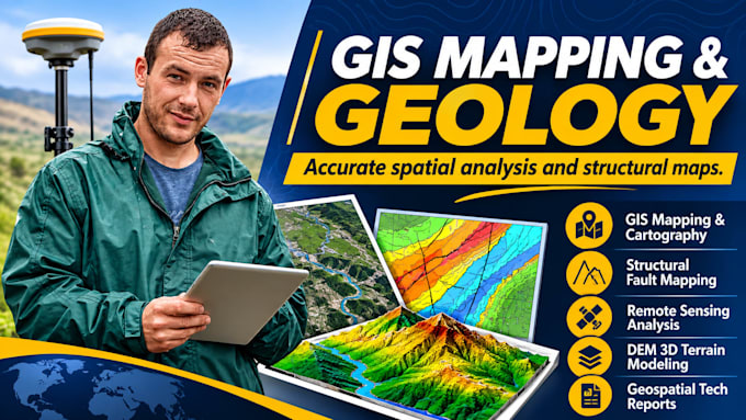
Are you looking for accurate GIS mapping, structural geology interpretation, or spatial data visualization for your research or technical project?
I specialize in geographic information systems (GIS), remote sensing, and geological analysis. Whether you need fault network plotting, tectonic layout mapping, surface geology visualization, or geospatial data processing, I turn raw spatial datasets into publication-ready maps and clear technical reports.
WHAT THIS GIG OFFERS:
GIS Mapping & Cartography (QGIS & ArcGIS formatting)
Structural Geology & Fault Network Mapping
Remote Sensing & Satellite Imagery Analysis
Elevation Modeling (DEM/3D terrain visualization)
Spatial Data Conversion & Digitizing (Shapefiles, GeoTIFF, KML)
Technical Geoscience & Geological Summary Reports
HOW IT WORKS:
1. Provide your project area coordinates, raw datasets, shapefiles, or field notes.
2. Outline your required layout styling, color schemes, and map outputs.
3. Receive clean, professional GIS map exports (PDF, PNG) along with source vector files according to your package.
WHAT IS EXCLUDED:
Physical field sampling or on-site inspections
Certified Professional Engineer (PE) or licensed geologist
Precision Xactimate Estimates and GIS Mapping Solutions
Languages
What data formats do I need to supply?
You can supply CSV files with coordinates, shapefiles (.shp), GeoJSON, KML/KMZ files, DEM rasters, or digitized paper maps and coordinates.
Which GIS software do you work with?
I work primarily with QGIS and ArcGIS for spatial data processing, cartographic layout design, and map generation.
Do you provide raw shapefiles and GIS project files?
Yes, raw shapefiles, GeoTIFFs, and spatial data layers are included in the Standard and Premium packages.
Can you handle structural geology and fault mapping?
Yes, I can digitize and format structural geology features, including fault traces, shear zones, strike/dip points, and tectonic lineaments.
Do you provide official engineering stamps or legal certification?
No. Deliverables are technical mapping, spatial visualizations, and analytical summaries; they do not include certified professional engineering (PE) seals.
Can you map international coordinates or remote regions?
Yes, provided global or regional spatial datasets (satellite imagery, elevation data, geological survey rasters) are accessible for the target area.
