Browse categories
English
$
USD
Connect to your AI



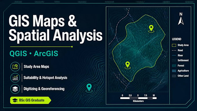
Need a clean, accurate map or GIS analysis you can use straight in your thesis, report or project? I turn your raw geographic data into professional, ready-to-use results.
I'm a GIS graduate (BSc Surveying Sciences in GIS) and a working surveyor, using QGIS and ArcGIS.
WHAT I DO
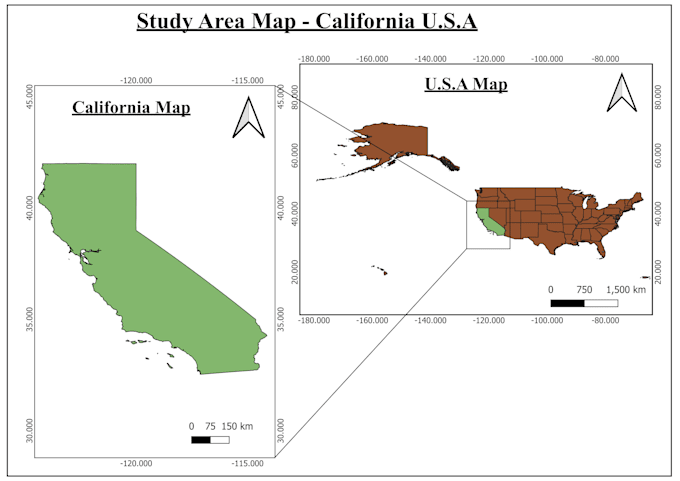
- Maps: study area, thematic, land use, administrative, buffer and topographic maps with legend, scale bar and north arrow
- Spatial analysis: buffer, overlay, proximity, hotspot, suitability, basic raster and vector analysis
- Data preparation: digitizing, georeferencing, projection fixes, clip / merge / dissolve, attribute joins
YOU RECEIVE
Your map as PDF/PNG/JPG, plus the processed data (Shapefile, GeoPackage or GeoJSON) and a short note explaining the method and results.
HOW TO ORDER
Send me your data and a short description: area, purpose, map size and preferred colours. Not sure what you need? Message me first. I reply within an hour and will suggest the right package.
Students, researchers, NGOs and small businesses are welcome.
GIS solutions for mapping and analysis
Languages
What file formats do you accept?
Shapefile, GeoJSON, GeoTIFF, KML, CSV with coordinates, and scanned/satellite images for digitizing.
Can you work with large or complex datasets?
Yes, for bigger projects please choose the Premium package or send me a custom offer request.
Can you work from scanned maps or satellite images?
Yes. I can georeference and digitize scanned maps, toposheets and satellite imagery into points, lines and polygons.
What do you need from me to start?
Your data (or the area/location), what the map is for, preferred map size and any colour or style requests.
Do you do thesis or research maps?
Yes. I prepare study area maps, thematic maps and analysis outputs with a short method note you can reference in your write-up.
Can I get the editable project file?
Yes, source files are included in the Premium package, or as an add-on for other packages.