Browse categories
English
$
USD
Connect to your AI


HELLO AND WELCOME!
Have a topographic or elevation mapping project in mind? Send me your project details and available geographic data. I'll review your requirements, discuss the appropriate mapping approach, and recommend a suitable package to ensure the final deliverable meets your project needs.
MY SERVICES
WHY CHOOSE ME
Send me a message before ordering so I can review your requirements, confirm the scope and recommend the right mapping solution. Let's turn your geographic data into a clear and useful topographic map.
Please inform the freelancer of any preferences or concerns regarding the use of AI tools in the completion and/or delivery of your order.
Event Map Designer, Festival, Venue, Concert and Wayfinding Maps
Languages
What is a topographic map?
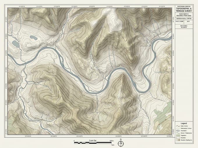
A topographic map represents land elevation, terrain shape, contour lines, and other geographic features to help users understand the landscape.
Can you create a map from DEM data?
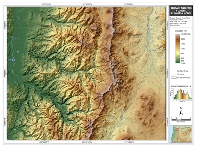
Yes. I can create elevation, contour, and terrain maps from suitable DEM data, depending on the quality and resolution of the source.
What files do you need to start?
Please provide your location, DEM or elevation data, survey points if available, preferred contour interval, and any reference images.
Can you create contour and elevation maps?
Yes. I can create detailed contour and elevation maps with labels, legends, scale bars, and other cartographic elements.
Do you provide GIS source files?
Yes. Available deliverables can include GeoTIFF, Shapefile, PDF, PNG, and other agreed formats, depending on your package.
Can you create 3D terrain maps?
Yes, where suitable elevation data and 3D terrain processing tools are available. Please contact me to discuss the required output.
Can you work with large geographical areas?
Yes. Please send your area of interest and available data first so I can assess the project size and recommend a suitable package.