Browse categories
Explore
Fiverr Pro
English
$
USD

Need an interactive map that makes your location data easy to explore?
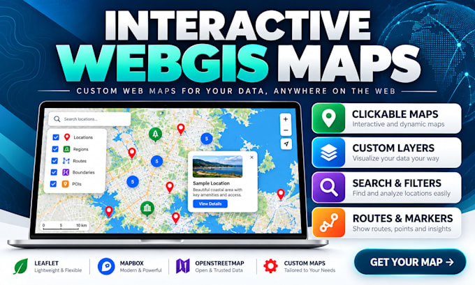
I build responsive WebGIS maps that turn GIS files and business locations into useful, clickable experiences for websites, projects and decision-making. I tailor each map to your real use case.
MY SERVICES
WHAT YOU WILL RECEIVE
WHY CHOOSE ME?
Ready to turn your data into a map people can actually use? Order your package or message me for a custom WebGIS solution!
Remote Sensing and GIS Analyst
Languages
What type of interactive web maps can you create?
I create custom WebGIS maps, store locators, property maps, route maps, coverage maps, location directories, thematic maps, and interactive geographic dashboards. Features are tailored to your project requirements.
Which technologies do you use?
I work with Leaflet, OpenStreetMap, Mapbox, HTML, CSS, JavaScript, QGIS, and GIS data formats. The final technology stack depends on your desired functionality, deployment platform, and budget.
What data formats do you accept?
I can work with Shapefiles, GeoJSON, KML, CSV, Excel coordinates, and other common spatial datasets. I'll review your data before development to identify any formatting or coordinate system issues.
Can you integrate the map into my existing website?
Yes. Interactive maps can be integrated into compatible websites or delivered as standalone applications. Please share your website platform so I can confirm compatibility and the required integration scope.
Will my interactive map work on mobile devices?
Yes. My web maps are designed with responsive layouts so users can explore locations and map information across supported desktop, tablet, and mobile browsers.
Can you add search, filters, popups, and custom markers?
Absolutely. I can implement clickable markers, informative popups, layer controls, legends, location search, category filters, clustering, and other interactive features depending on your chosen package.
Do you provide GIS data, or must I supply it?
You can provide your own geographic data. I can also assist with sourcing, preparing, converting, or organizing datasets where appropriate. Extensive data collection and analysis may require a custom offer.
Can you create maps with live or automatically updated data?
Yes, subject to technical assessment. API connections, live feeds, database integration, and automated updates are handled through custom project quotations rather than the standard fixed-price packages.
Will I receive the source code and a working map?
Custom-coded maps include the agreed project files and source code. Depending on the package, I can also assist with deployment or provide a hosted link. Third-party subscriptions and hosting fees are separate.
What if I need revisions or a feature not listed in the packages?
Each package includes a defined number of revisions for changes within the original scope. Additional features, major redesigns, or extended functionality can be arranged through a custom offer.