I will create topographic maps, land survey,contour drawing,site plan,cad plan drafting

D
dayoomoh
D
dayoomoh
Dayoomoh A

About this gig

Dear Valued Buyer!


Welcome To My Gig Description Description.


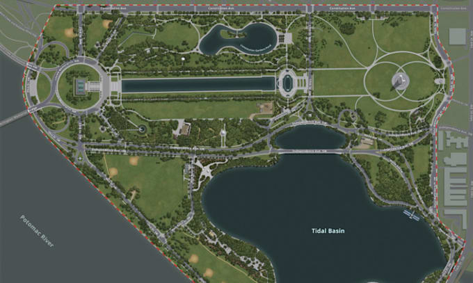
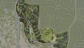
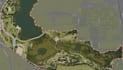
Are you looking for high-quality topographic maps, land surveys, contour drawings, site plans, or CAD drafting services? You're in the right place!


Here, I Will Create Topographic Maps, Land Survey, Contour Drawing, Site Plan, CAD Plan Drafting.


With years of experience in civil engineering, surveying, and architectural drafting, I will provide you with accurate and professionally detailed drawings for your personal or commercial projects.


What I Offer:


  • Topographic Maps
  • Land Survey Drafting
  • Contour Line Drawings
  • Civil Engineering Drawing
  • Land Development
  • Site Layout
  • AutoCAD Site Plan
  • Site Development Plans
  • 2D CAD Drafting in AutoCAD
  • Plot Plan and Property Line Mapping
  • Grading Plans & Elevation Profiles
  • GIS-based Mapping and Analysis


Why Choose Me?


  • ️Precision and Attention to Detail
  • ️Fast Delivery with Unlimited Revisions
  • ️Readable and Print-Ready Formats (DWG, PDF, JPG, etc.)
  • ️Professional Communication
  • Quick Response
  • ️Scalable Projects from small lots to large sites


Let's bring your vision to life with clear, professional mapping and drafting.


Contact me before placing the order for custom offers and time!

Delivery style preference

Please inform the freelancer of any preferences or concerns regarding the use of AI tools in the completion and/or delivery of your order.

Get to know Dayoomoh A

Dayoomoh A

A team of AutoCAD, AutoCAD Civil 3D, ArcGIS, Google Earth designers

  • FromUnited Kingdom
  • Member sinceJul 2025
  • Languages

    English, Portuguese, German, Spanish, French
Hello Awesome Buyer! Welcome Here! I am a skilled land surveyor, licensed Architect and Civil Engineer specializing in providing accurate and detailed site analysis for construction, planning, and development projects. With expertise in boundary surveys, topographic surveys, plot demarcation, and site layout plans, I deliver precise data that supports civil engineering, architectural, and real estate needs. Whether you're preparing for a building permit, designing infrastructure, or resolving property lines, I ensure reliable, GPS-based survey solutions tailored to your project requirements.