Browse categories
English
$
USD
Connect to your AI

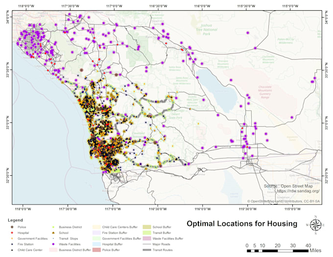

Are you looking for GIS Mapping, Remote Sensing Analysis, and Spatial Analysis expert? Then this gig is for you. I am specialized in creating eye-catching/interactive maps, which would be useful in presentations, reports and research publications. I will also offer printable maps which can be used for variety of things.
GIS Mapping Services:
· Data Conversion, Digitization, Georeferencing
· GIS Modelling
. GIS Analysis
· WebGIS
· Multi-Criteria Decision Analysis
· Terrain Mapping
· Suitability Analysis For Habitat Mapping, Hazard Mapping, Groundwater Assessment
· NDVI, EVI, SAVI, NDWI, and other Indices Mapping
· Land Use and Land Cover (LULC)
· Thematic/Heat Maps
· Topographic Maps
· Map With Hotspot Analysis
· Map Showing Routes/ Service Area/ Closest Facility
· Download, Process Satellite Images, Image Layer Stacking, Mosaicking
· Supervised, Unsupervised Image Classification
· Printable maps for your organization and institute
Software:
1. ArcGIS
2. QGIS
3. SNAP
4. ERDAS
5. ENVI
Have questions? I am at your service.
Professional GIS Developer, Remote Sensing and Spatial Analyst Expert
Languages
