Browse categories
Explore
Fiverr Pro
English
$
USD



Important: I only accept orders and communication through Fiverr. I do not work via external links, email, or third-party payment systems.
Please contact me with your project details before placing an order.
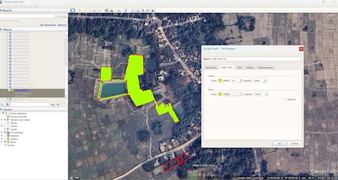
I will convert your GPS (.gpx) data into accurate and well-structured KML/KMZ files.
If you are looking for clean, professional mapping of your survey data, land boundaries, or project areas, I can help you create clear and easy-to-use map files.
Services I offer:
Suitable for:
Why choose me:
I focus on delivering simple, structured, and easy-to-understand mapping outputs that you can directly use or present.
Please message me before placing an order for complex or large datasets.
Please inform the freelancer of any preferences or concerns regarding the use of AI tools in the completion and/or delivery of your order.
Languages
Do you provide KML or KMZ files?
Yes, I specialize in creating both KML and KMZ files from GPS (.gpx) data, fully compatible with Google Earth.
What input files do you need?
You can share GPS data in .gpx format. I can also work with coordinates, Excel sheets, or other formats if available.
Can you create polygons and boundary maps?
Yes, I can create accurate polygons, boundaries, and paths based on your GPS or coordinate data, with proper labeling and structure.
Will the files work in Google Earth?
Yes, all files are delivered in a format that works seamlessly in Google Earth and similar mapping tools.
Can you handle large or complex projects?
Yes, I can handle larger datasets and complex mapping requirements. Please message me before placing an order so I can review your data and suggest the best approach.
Do you offer revisions?
Yes, I offer revisions to ensure the final output meets your requirements and expectations.
Do you accept work outside Fiverr or via external links?
No. For security and transparency, all communication, file sharing, and payments must be completed within Fiverr.