Browse categories
Explore
Fiverr Pro
English
$
USD


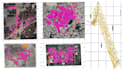


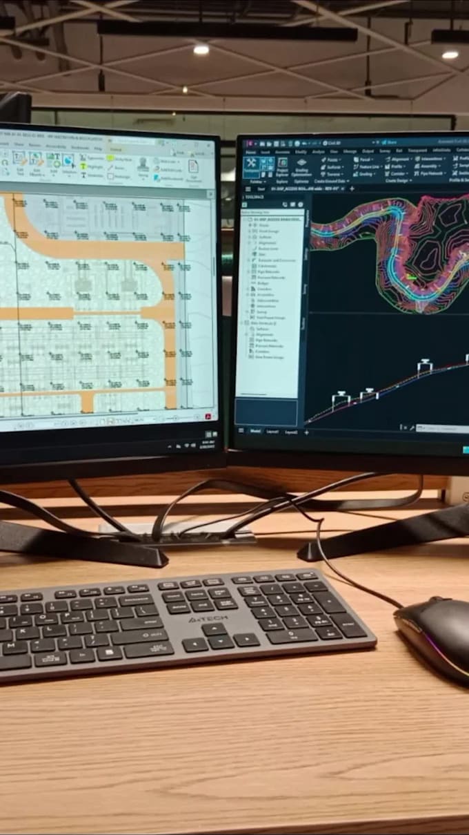
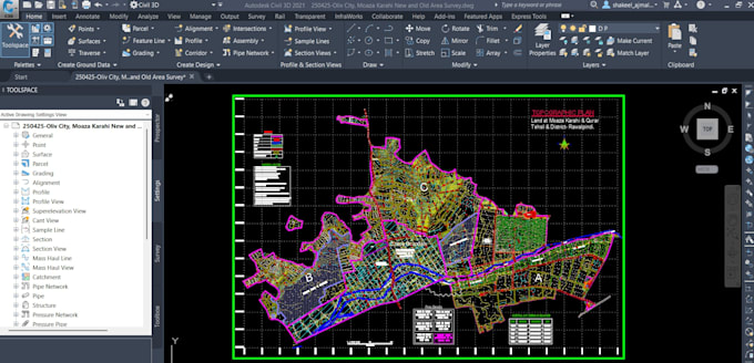
I am a skilled Civil 3D modeler with hands-on experience in handling topographic survey projects, from basic layouts to advanced mapping. Using advanced software and techniques,
I will create accurate topographic survey maps, land surveying maps, and contour maps from your point topo data. Whether it's raw point data or survey files, Ill process and convert them into clear, professional topographic and contour drawings using Civil 3D or similar tools. Fast delivery and precise results guaranteed!
"Simply provide your data in Excel or CSV format for Google Earth mapping, just mark the location, boundary, and survey area"
Please inform the freelancer of any preferences or concerns regarding the use of AI tools in the completion and/or delivery of your order.
Specializing in LiDAR Processing, GIS Mapping, and Civil 3D Design and Drawings
Languages