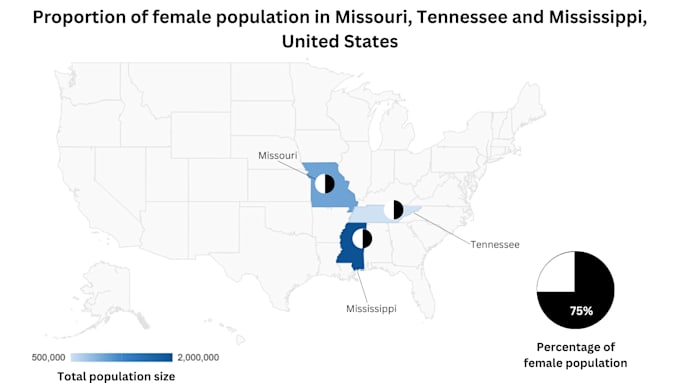
I will create a professional map from satellite or drone data

D
dlarrotar
D
dlarrotar
Daniel L

About this gig

Turn your satellite or drone data into maps that are easy to understand and ready to use. These maps help researchers, consultants, urban planners, teachers, and business owners see patterns and make decisions faster.

I can create maps showing:

  • Vegetation health and NDVI to identify stressed or healthy areas.
  • Land cover or land use to understand how land is used or changing over time.
  • Water quality or flood risk for safe planning and environmental reports.
  • Custom thematic maps to highlight infrastructure, protected areas, or any other data.
  • Time series maps to track changes over weeks, months, or years, such as vegetation growth, flooding events, or urban expansion.

These maps save time, make complex data easy to understand, and help communicate information clearly. Every map comes as a high-quality PNG, PDF, or GeoTIFF with legend, scale bar, and metadata.

With more than two years of experience in GIS and remote sensing, I ensure your maps are accurate, visually clear, and useful for any audience.

Get to know Daniel L

Daniel L
  • FromNetherlands
  • Member sinceSep 2025
  • Languages

    English, Spanish, French, Dutch
I’m a remote sensing and GIS specialist with an MSc in Geoinformation Science and more than two years of experience in environmental, geological and geospatial projects. I turn satellite and drone data into clear, professional maps, interactive webmaps and automated Python reports. I work confidently with QGIS, Google Earth Engine, Python, and advanced data visualization tools. Based in Europe, I provide services in English and Spanish and can also support clients in French and Dutch.

Related tags