Browse categories
English
$
USD
Connect to your AI


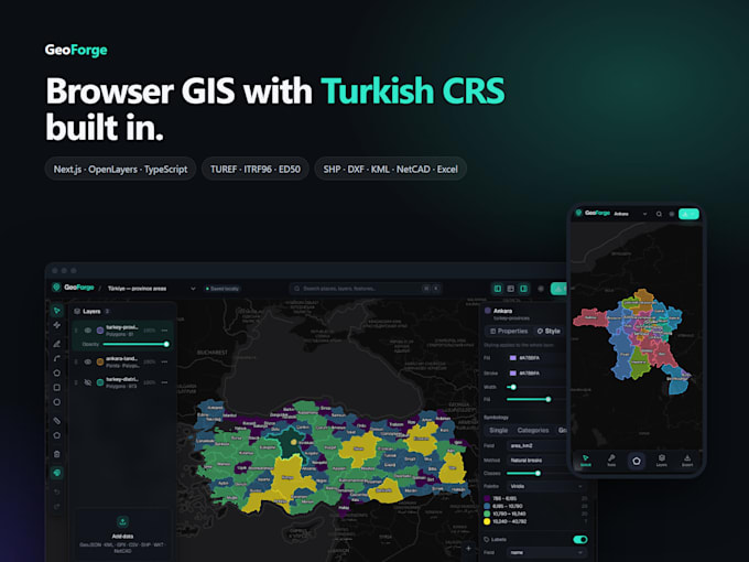
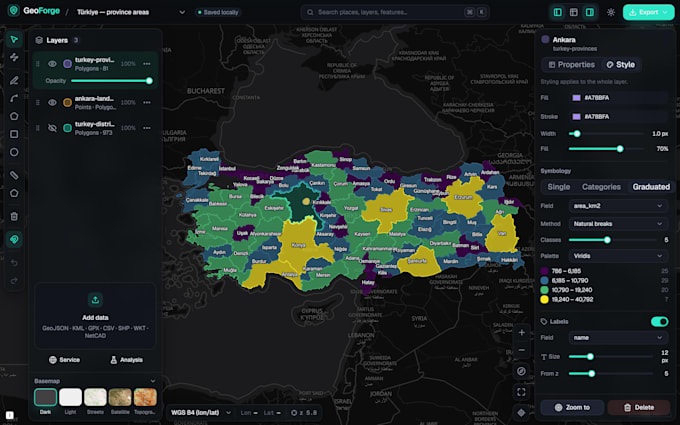
Need your spatial data on a fast, interactive web map? I'm a software team lead with 3+ years of experience, building web GIS applications with open-source tools, so no expensive licenses are required.
What I can build for you:
Interactive maps from your Shapefile, GeoJSON, KML or CSV data
Layer control, popups, search and filtering
Drawing, measuring and spatial query tools
PostGIS databases and GeoServer (WMS/WFS) integration
Full-stack map dashboards with backend API and user login
Bug fixes and new features for existing Leaflet/OpenLayers projects
Tech stack: Leaflet, OpenLayers, MapLibre GL, Turf.js, PostGIS, GeoServer, QGIS, React, Node.js
Why work with me:
Clean, maintainable code delivered with full source
Clear written communication and regular progress updates
Responsive design for desktop and mobile
Please message me before ordering so we can discuss your data and requirements. I'll reply with a clear plan and timeline.
Web GIS, 3D, Data Visualization Developer
Languages
What data formats do you accept?
Shapefile, GeoJSON, KML/KMZ, CSV with coordinates, GeoPackage and PostGIS databases. If your format is different, just ask.
Do I need an ArcGIS or Mapbox license?
No. I use open-source tools, so there are no license fees. Free basemaps like OpenStreetMap are used by default.
Can you host the application for me?
Yes, the Premium package includes deployment. For other packages I can deliver the code ready to host, or add deployment as an extra.
Can you work on my existing map project?
Yes. Send me the details and I'll review your code before giving an offer.