Browse categories
Explore
Fiverr Pro
English
$
USD
I develop, You Decide!
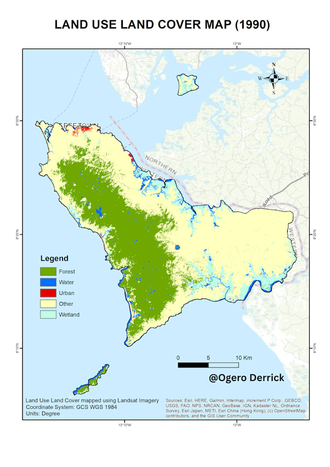
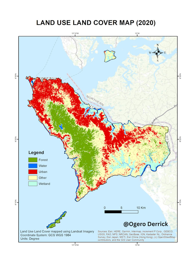
This gig offers services for processing and analyzing satellite or aerial imagery using remote sensing techniques. The basic package includes image enhancement, simple image classification, basic change detection, and image export in a standard format. The standard package includes image processing and enhancement, advanced image classification, change detection with accuracy assessment, and image export in multiple formats. The premium package includes advanced image processing and enhancement, object-based image analysis, time-series analysis, custom reports with recommendations, and image export in multiple formats.


What types of remote sensing data can you process?
I can process a wide range of remote sensing data, including optical, radar, and lidar data. I have experience working with data from various sensors, including Landsat, Sentinel, MODIS, and SAR.
What kind of image processing techniques do you use?
I use a variety of image processing techniques, including preprocessing, image enhancement, classification, and change detection. I can also create custom processing workflows to meet the specific needs of your project.
What software and tools do you use for remote sensing image processing?
I am proficient in using industry-standard remote sensing software such as ENVI, ERDAS Imagine, and QGIS, as well as programming languages such as Python and R. I am also experienced in using cloud-based processing platforms such as Google Earth Engine. I use Jupyter Notebooks to write and share my
How long does it take to process remote sensing data?
The time it takes to process remote sensing data depends on the complexity of the data and the scope of the project. I will work with you to determine a realistic timeline and keep you updated throughout the process.
Do I need to provide my own remote sensing data?
Yes, you will need to provide your own remote-sensing data for processing. If you don't have your own data, I can help you source relevant data from publicly available sources or commercial data providers.
What kind of insights can I expect from remote sensing image processing?
Remote sensing image processing can provide insights such as land cover classification, vegetation analysis, urban growth monitoring, and change detection over time. These insights can help you make informed decisions for your project or business.