Browse categories
English
$
USD
Connect to your AI
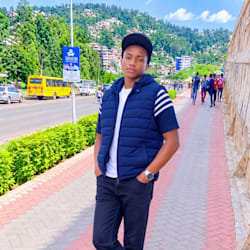
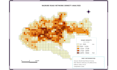

Need a clear, accurate map or satellite image analysis? I'm a GIS specialist from Kenya. I turn your data into professional maps and insights using QGIS and Google Earth Engine.
What I can do:
- Print-ready map layouts with legend, scale bar and north arrow
- Land parcel mapping and digitizing from imagery or scanned plans
- NDVI and SAVI vegetation analysis in Google Earth Engine
- DEM and terrain analysis
- Land use and land cover (LULC) mapping and change comparison
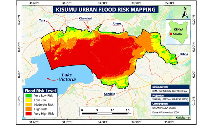
- Flood risk and site suitability mapping
- Georeferencing scanned maps
- Cleaning and converting spatial data (Shapefile, GeoJSON, KML)
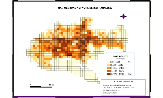
Past projects: Nairobi road network density analysis, Nairobi land cover change, Kisumu urban flood risk mapping, and healthcare facility mapping.
To start, send your study area, any data you have, and the purpose of the map. I deliver PNG and PDF, with source files on request. Message me before ordering so I can confirm your project and give an exact quote.
GIS Specialist QGIS Mapping
Languages