Browse categories
English
$
USD
Connect to your AI

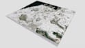
Greetings!
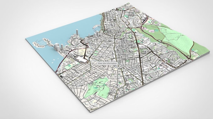
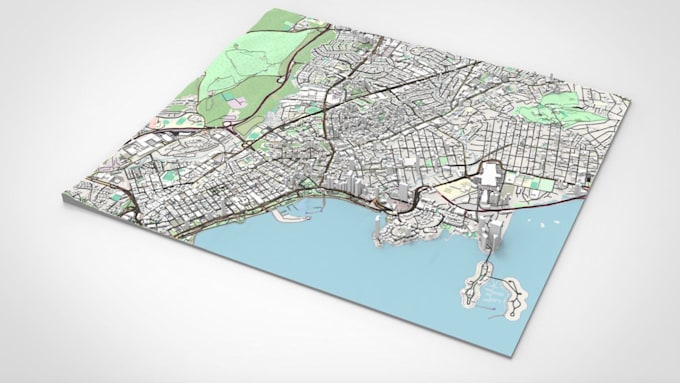
I am a Eje and Architect with 5+ experience creating Digital Elevation Models, Contour Maps, GIS solutions, LiDAR, and surveying. I help land survey, civil and construction firms produce accurate estimates, site plans, 3D models, and survey maps through advanced surveying and drafting techniques.
Here I will detailed architectural model from survey point, land survey data to 3d surface
Get to Know More Of My Skill:
^ Topographic Survey
^ Contour Map to 3d Model
^ Civil 3D Services
^ Survey Data to 3D
^ Digital Elevation Model (DEM)
^ 3D Terrain Modeling
^ GIS Mapping
^ Civil Engineering Drawing
Trusted by repeat clients worldwide. message me for your project
Fiverr does not screen freelancers in this category. Please verify qualifications and discuss requirements with the freelancer before ordering, including any preferences regarding the use of AI tools.
Planning Outline ll Terrain Model
Languages